

Banihal weather: today, this week and through the year
Live temperature and a five-day forecast for Banihal, Ramban and Qazigund — the three weather points that decide most drives between Jammu and Srinagar — with IMD monthly averages, winter snow and the landslide season.
- 10.8° / 0.0 °C January
- Feb wettest, 237 mm
- −13.6 °C record low
- Live 3 places
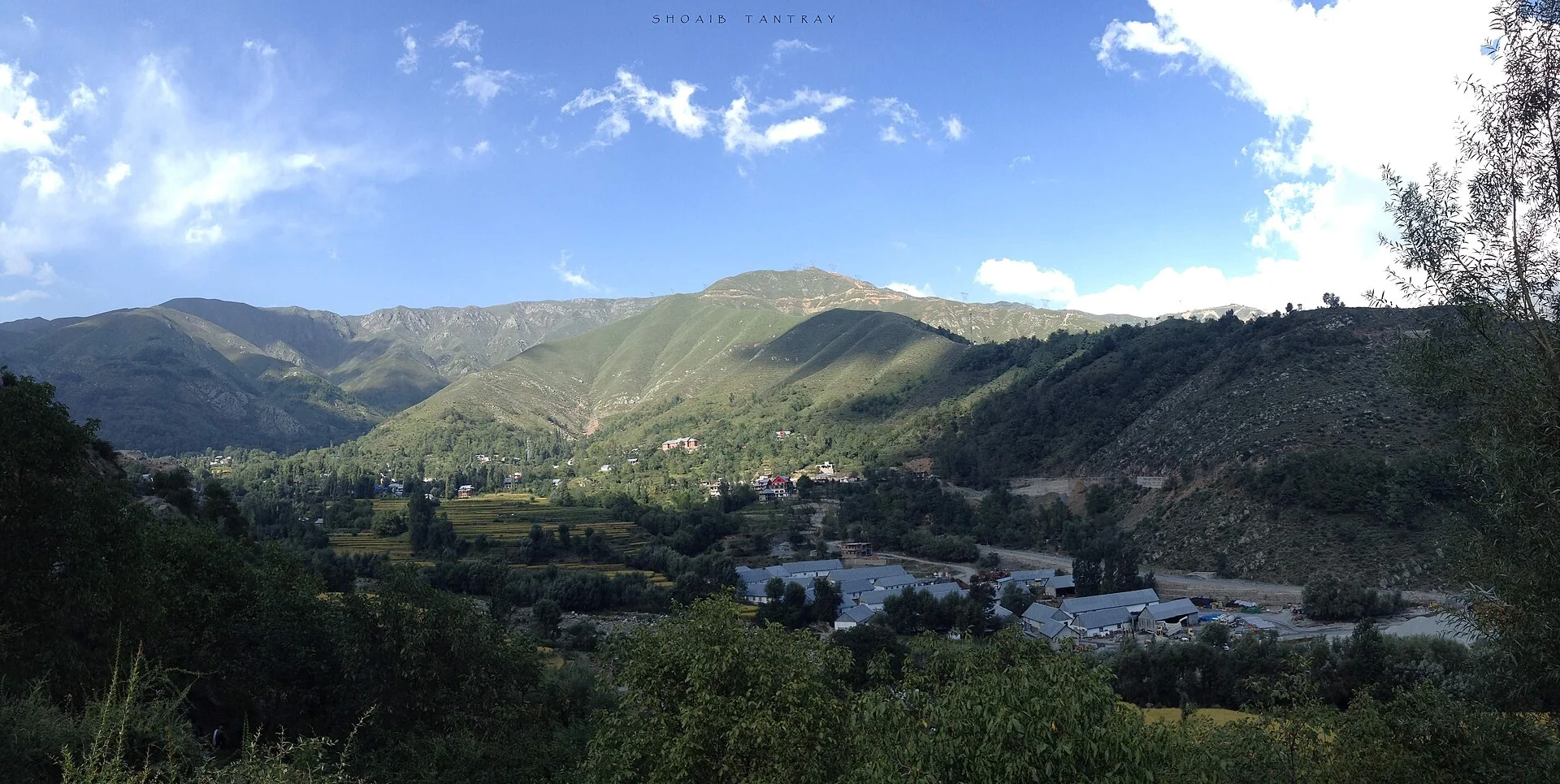
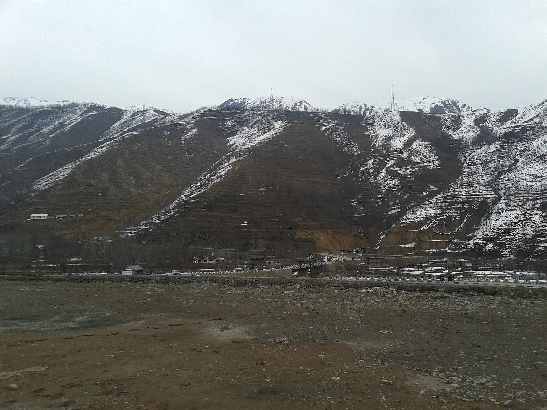
Photo: Shoaib tantray111, CC BY-SA 4.0
Updated November 2026 · HP Tourism registered travel agent · Reg. No. DTO-MND-11-243/2022 · certificates
Banihal (about 1,624 m) sits just south of the Pir Panjal on the Jammu–Srinagar highway (NH-44); Ramban (about 747 m) is lower down in the Chenab gorge, and Qazigund (about 1,670 m) is the first town on the Kashmir side. By India Meteorological Department averages for 1991–2020, Banihal’s January is about 10.8 °C by day and 0 °C at night, July about 28.7 °C by day, and February is the wettest month (about 237 mm) — winter here brings both rain and snow. Since the Banihal–Qazigund road tunnel opened in 2021, the highway no longer climbs to the old Jawahar tunnel, but heavy snow around Banihal and Qazigund, and landslides and shooting stones on the Ramban stretch, can still close the road. Always check the J&K Traffic Police advisory on the morning you travel.
- ColdestJanuary — about 10.8° / 0 °C at Banihal; Qazigund nights about −3 °C.
- WettestFebruary–March, about 220–240 mm a month at Banihal.
- SnowDecember–February at Banihal and Qazigund; rare at Ramban.
- Landslide riskHeavy rain in winter and July–August, mainly on the Ramban stretch.
- DriestOctober–November.
Banihal, Ramban and Qazigund weather today
Ramban in the Chenab gorge (747 m), Banihal below the Pir Panjal (1,624 m) and Qazigund on the Kashmir side (1,670 m) — current temperature and the next days’ high, low, rain and snow along NH-44.
Forecast data: MET Norway (CC BY 4.0), refreshed about once a day — last update —.
Banihal weather by month
Temperatures and rainfall are India Meteorological Department normals for the Banihal station, 1991–2020; records are for 1962–2020.
| Month | Average high / low | Rain (rainy days) | On the highway |
|---|---|---|---|
| January | 10.8° / 0.0 °C | 192 mm (7.3) | Snow spells; closures possible |
| February | 12.5° / 1.8 °C | 237 mm (8.5) | Wettest; snow and rain |
| March | 17.2° / 5.0 °C | 224 mm (9.1) | Rain; landslide risk |
| April | 22.4° / 8.6 °C | 132 mm (8.1) | Showery, improving |
| May | 26.2° / 11.5 °C | 83 mm (7.1) | Pleasant; busy traffic |
| June | 28.6° / 14.6 °C | 68 mm (5.4) | Warm; Ramban hot |
| July | 28.7° / 17.8 °C | 84 mm (6.1) | Monsoon spells |
| August | 28.2° / 17.4 °C | 99 mm (6.2) | Monsoon; shooting stones |
| September | 27.6° / 13.2 °C | 68 mm (4.1) | Clearing |
| October | 24.6° / 7.2 °C | 35 mm (2.3) | Driest, clear |
| November | 19.4° / 3.8 °C | 54 mm (2.6) | Cool, mostly dry |
| December | 14.7° / 1.8 °C | 88 mm (3.9) | Cold; first snow |
About 1,365 mm of rain and snow a year on 71 days. Banihal’s IMD records are 36.3 °C (June) and −13.6 °C (December). Qazigund’s IMD 1991–2020 averages are colder: January nights about −3.1 °C, July days about 28 °C.
What the weather means on NH-44
Tunnels: the 9 km Dr Syama Prasad Mookerjee (Chenani–Nashri) tunnel bypasses Patnitop, and the 8.45 km Banihal–Qazigund road tunnel, opened in August 2021 at about 1,790 m, replaced the climb to the old Jawahar tunnel (2,194 m). This keeps the highway open on many more winter days than before.
Snow: heavy snowfall around Banihal and Qazigund can still close the highway for a day or more in December–February, and traffic is often one-way on some days. Rain: on the Ramban stretch, steep slopes above the road bring landslides and shooting stones after heavy rain — in winter and spring as well as in the July–August monsoon.
Before you start, check the J&K Traffic Police advisory for the day. For a calmer journey, the train through Banihal links the Kashmir valley with the rest of the line. Nearby weather: Patnitop weather, Anantnag weather and Jammu weather.
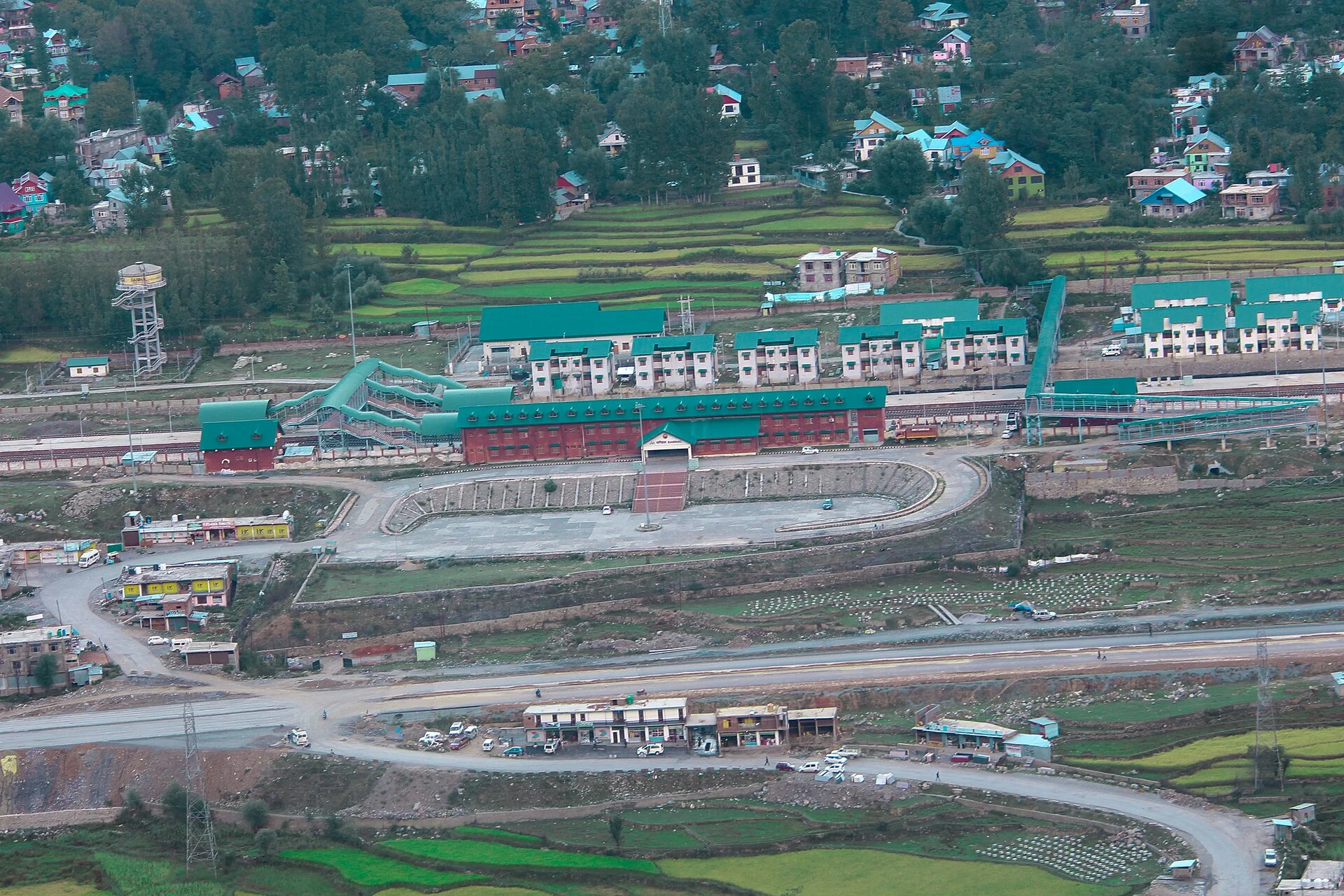
Banihal and the Chenab valley in pictures
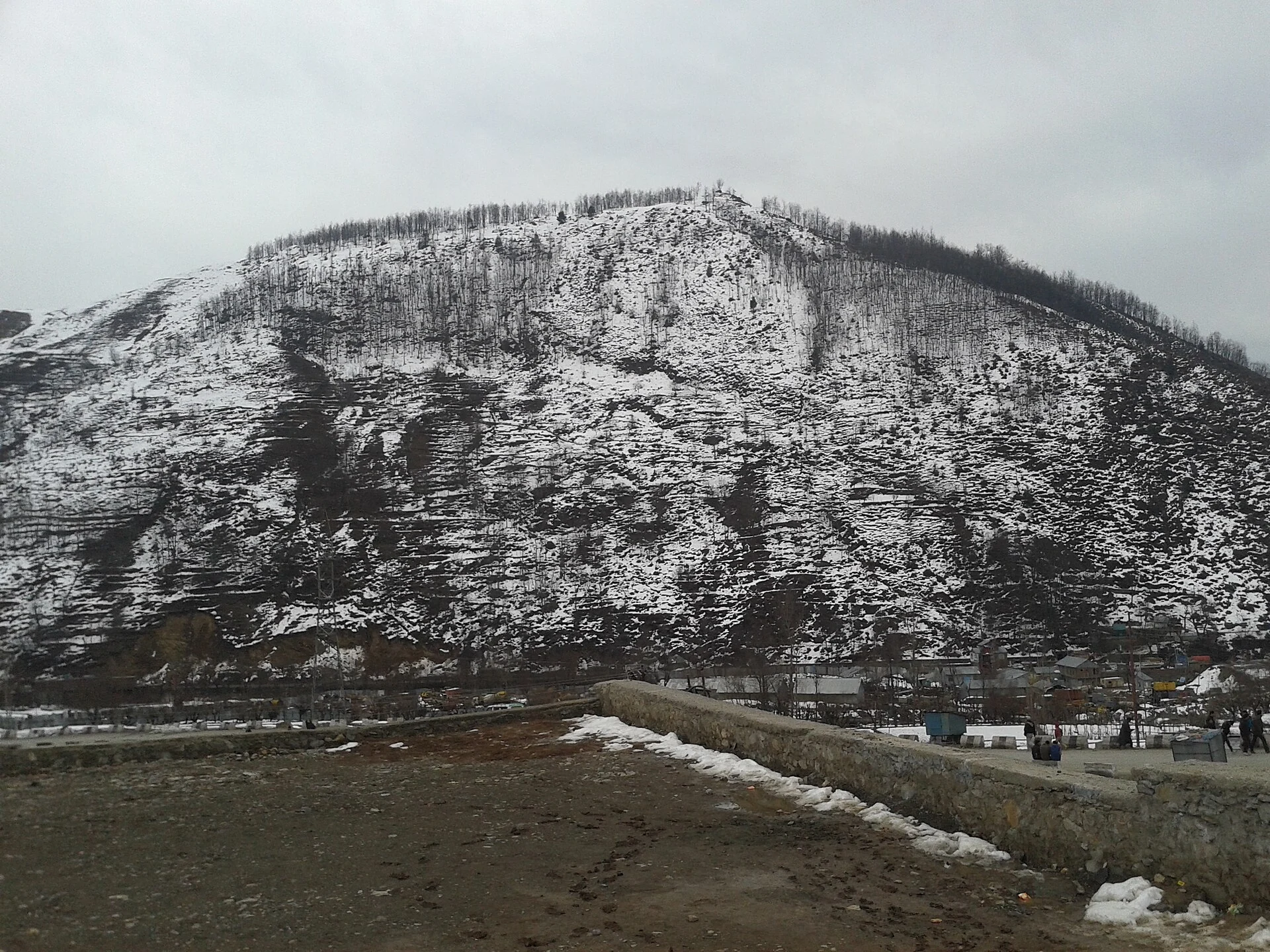
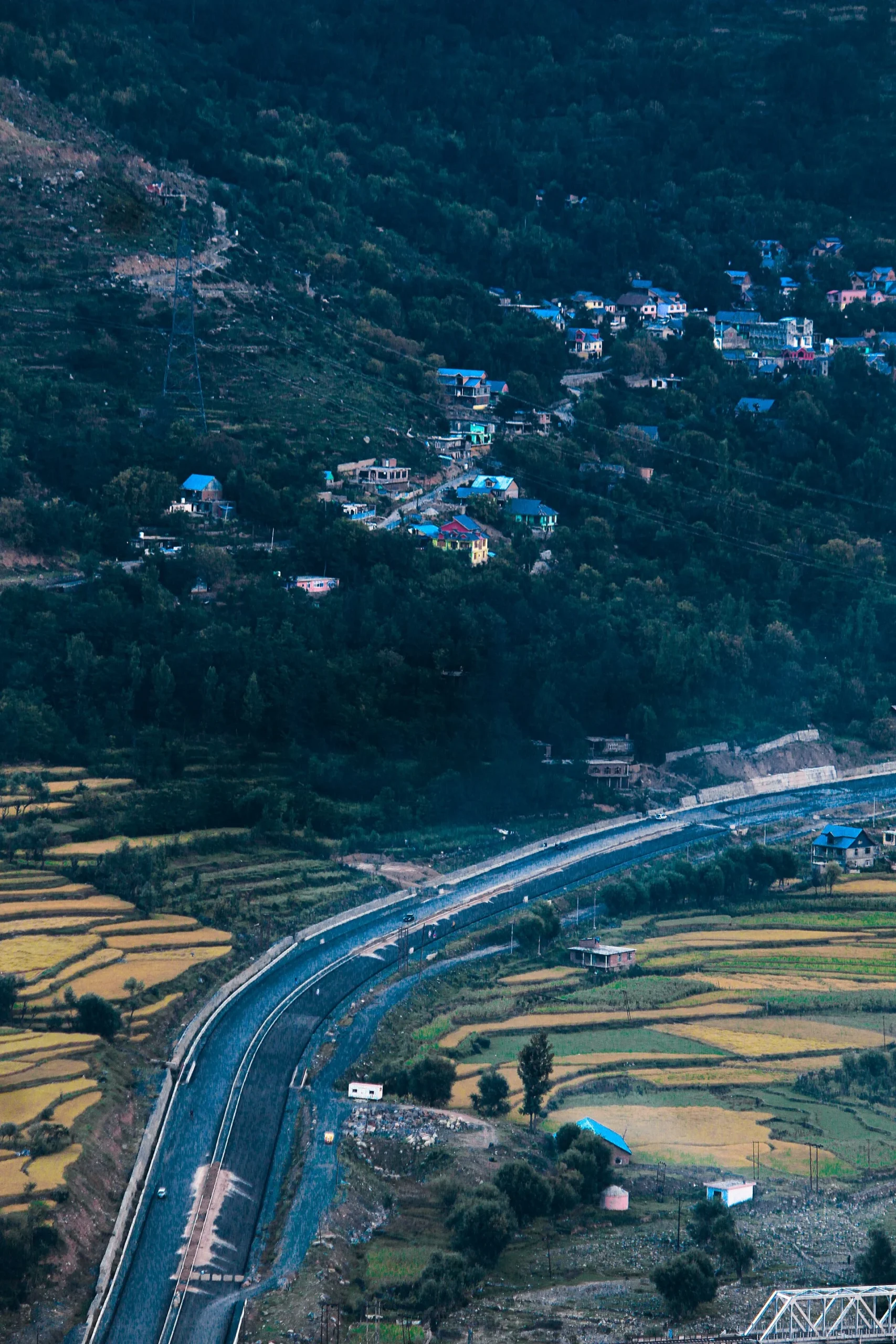
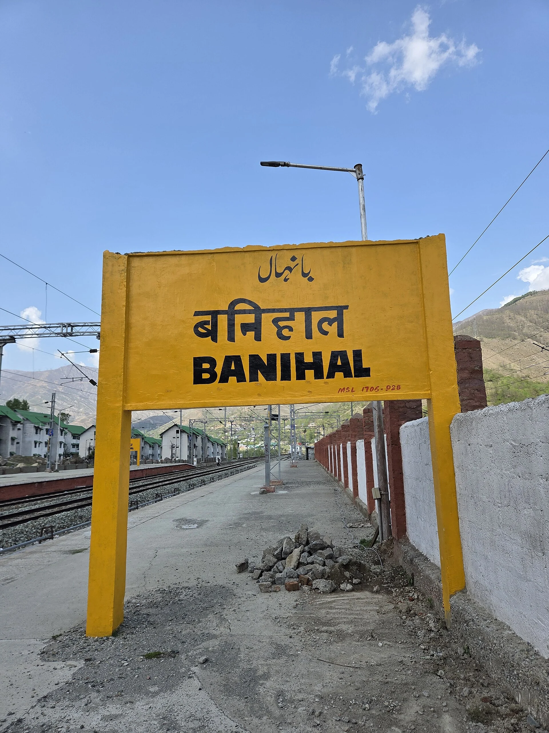
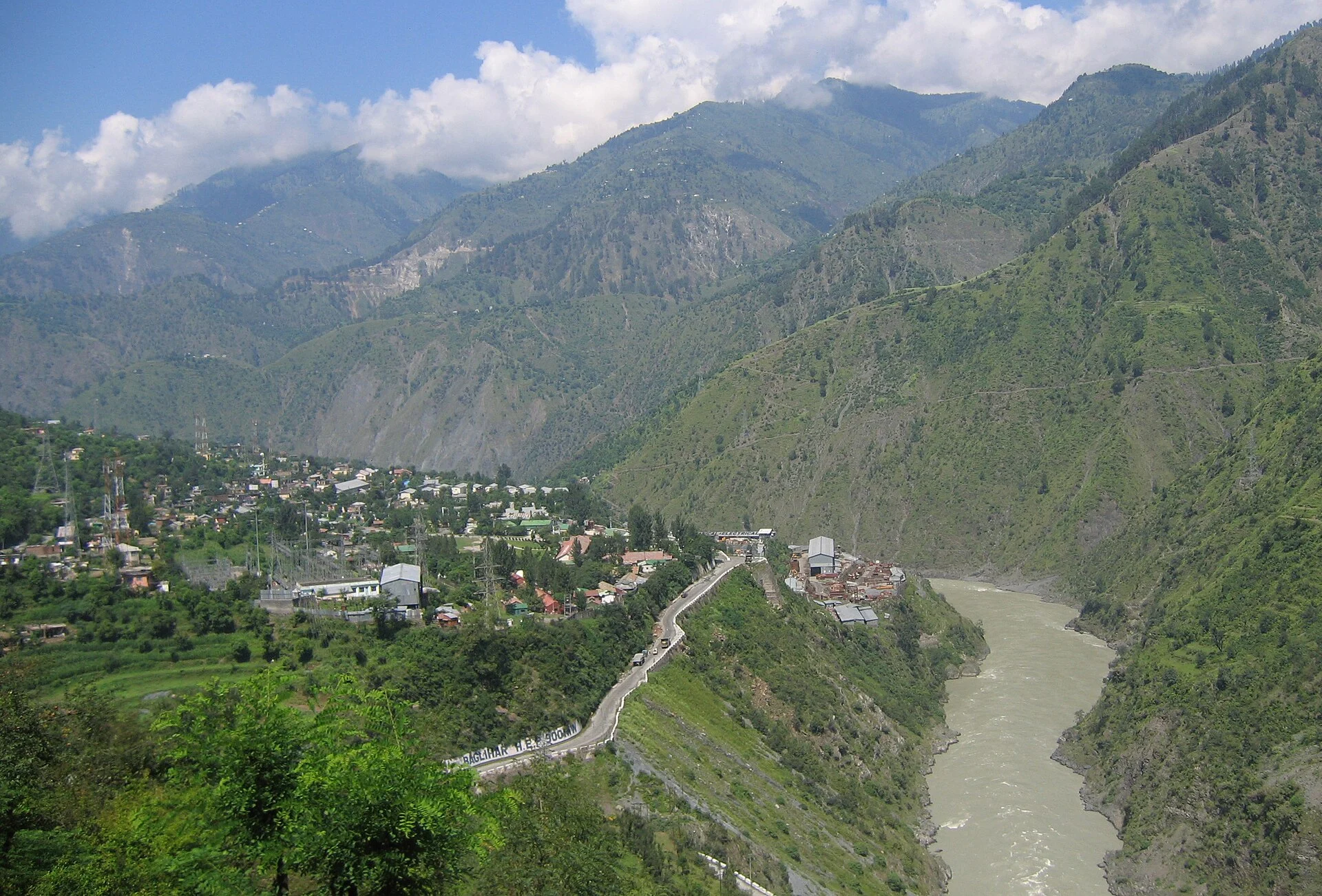
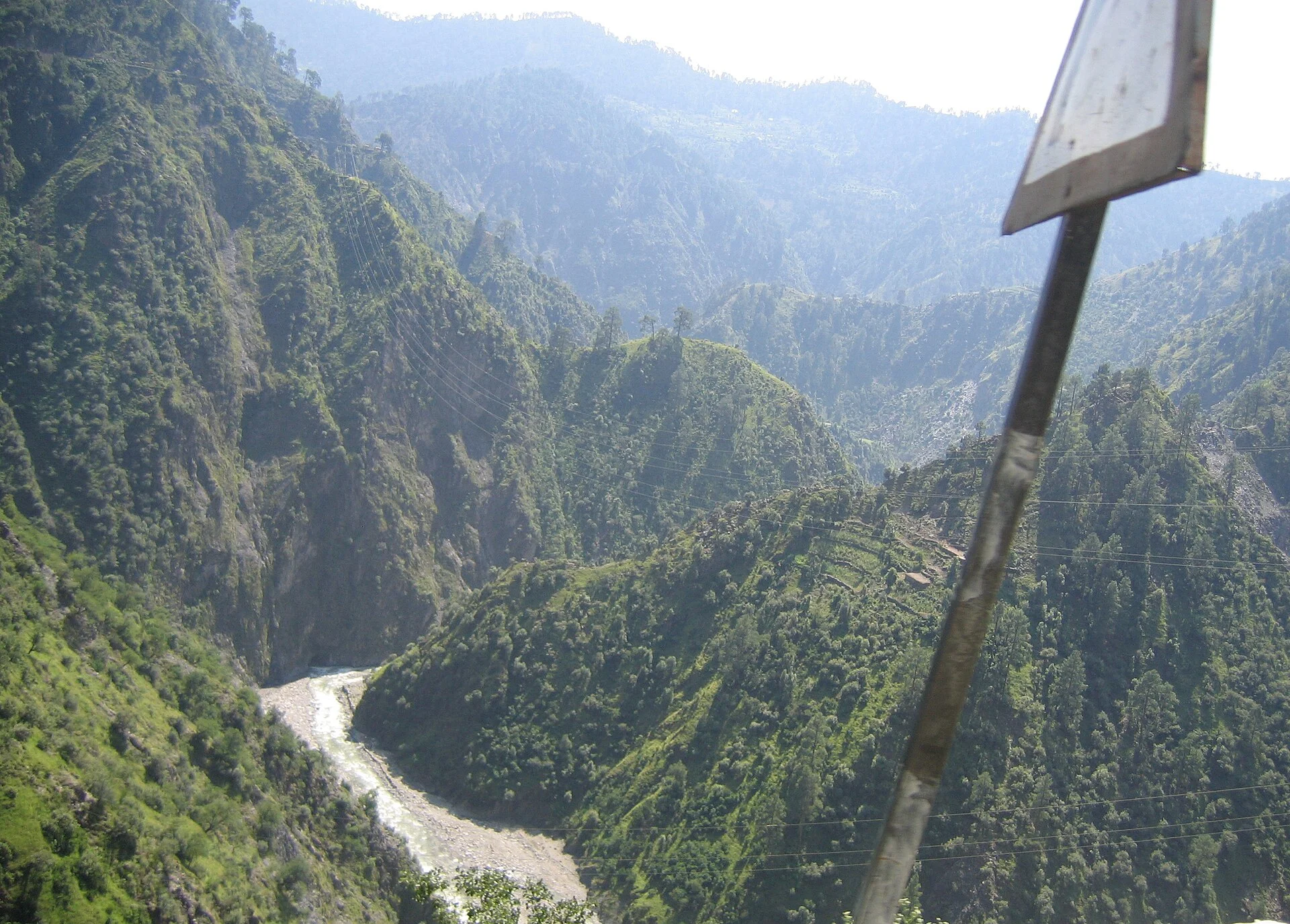
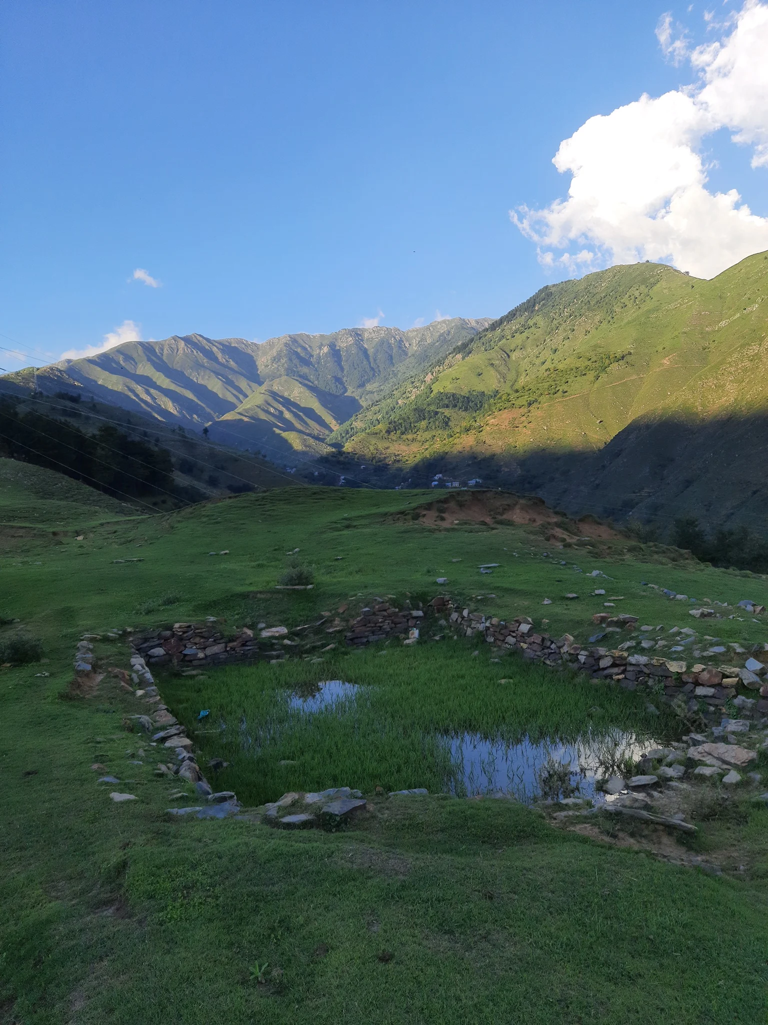
Banihal, its station, the highway and the Chenab gorge — real photographs, each credited to its photographer.
Best time to travel through Banihal
Depending on what you are travelling for.
Smoothest drives
The driest months; clear skies.
Spring
Pleasant, busy traffic; occasional showers.
Summer
Warm; Ramban is hot by day.
Snow in Kashmir
Check the advisory daily; carry warm clothes and keep a spare day.
Take care
Wettest months; landslide risk on the Ramban stretch.
Monsoon
Shooting stones after heavy rain.
Driving Jammu to Srinagar: weather tips
Plan a buffer day in winter, and start early — snow clearance and one-way traffic can add hours.
Clothing: a warm jacket, cap and gloves from November to March; even in summer, Banihal and Qazigund are cooler than Jammu and Ramban.
Hire a local driver who knows the road in winter and the landslide spots.
Our Kashmir trips
Hotels, meals and a private car in one quote.
Driving between Jammu and Srinagar?
Tell us your dates and how many of you are travelling. We watch the weather and the highway advisory, plan a buffer for winter, and send a written quote with hotels, meals and a private car. Suzu Travels is a travel agent registered with HP Tourism, based in Bilaspur, Himachal Pradesh, and plans trips across north India.
Banihal weather: frequently asked questions
What is the weather in Banihal today?
The top of this page shows the current temperature and the next days’ forecast for Banihal, Ramban and Qazigund (MET Norway data).
Does it snow in Banihal?
Yes — mainly from December to February. Snow at Banihal and Qazigund is the most common reason the highway closes in winter.
Is the Jammu–Srinagar highway open today?
This page shows the weather, not the road status. The J&K Traffic Police publishes the daily advisory; check it on the morning you travel.
Why does the highway close near Ramban?
Steep slopes above the road on the Ramban stretch bring landslides and shooting stones after heavy rain, in winter–spring and in the monsoon.
Which is the wettest month at Banihal?
February — about 237 mm by IMD averages; January and March are almost as wet.
What is the best time to drive Jammu to Srinagar?
October–November are the driest; April–June are pleasant but busy. In winter, keep a spare day.
Sources
- MET Norway Locationforecast (CC BY 4.0) — live forecast data
- India Meteorological Department — Banihal normals 1991–2020 (via Wikipedia: Banihal)
- Wikipedia: Banihal Qazigund Road Tunnel
Photo credits
Banihal Pass above the Jammu–Srinagar highway — Photo: Shoaib tantray111, CC BY-SA 4.0 · Banihal town and railway station from above — Photo: Mutahir Showkat, CC BY-SA 4.0 · Snow on the hills at Banihal — Photo: Owais khursheed, CC BY-SA 4.0 · NH-44 winding through Banihal — Photo: Mutahir Showkat, CC BY-SA 4.0 · Banihal railway station — Photo: Gannu03, CC BY-SA 4.0 · The Chenab valley on the road to Banihal — Photo: Vinayaraj, CC BY-SA 3.0 · The Chenab gorge below the highway — Photo: Vinayaraj, CC BY-SA 3.0 · Chanjloo meadow near Banihal — Photo: Mutahir Showkat, CC BY-SA 4.0 · Hills of Banihal in winter — Photo: Owais Khursheed, CC BY-SA 4.0