

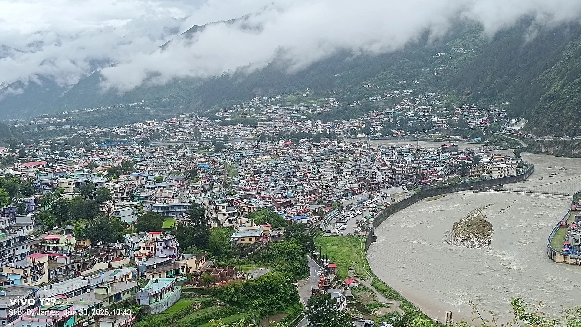
Uttarkashi weather: today, this week and through the year
Live temperature and a five-day forecast for Uttarkashi, Harsil and Gangotri, approximate month-by-month temperatures, the monsoon, and the best time to go.
- ~1,160 m Uttarkashi
- ~145 km from Rishikesh
- Jul–Aug wettest
- Live 3 places
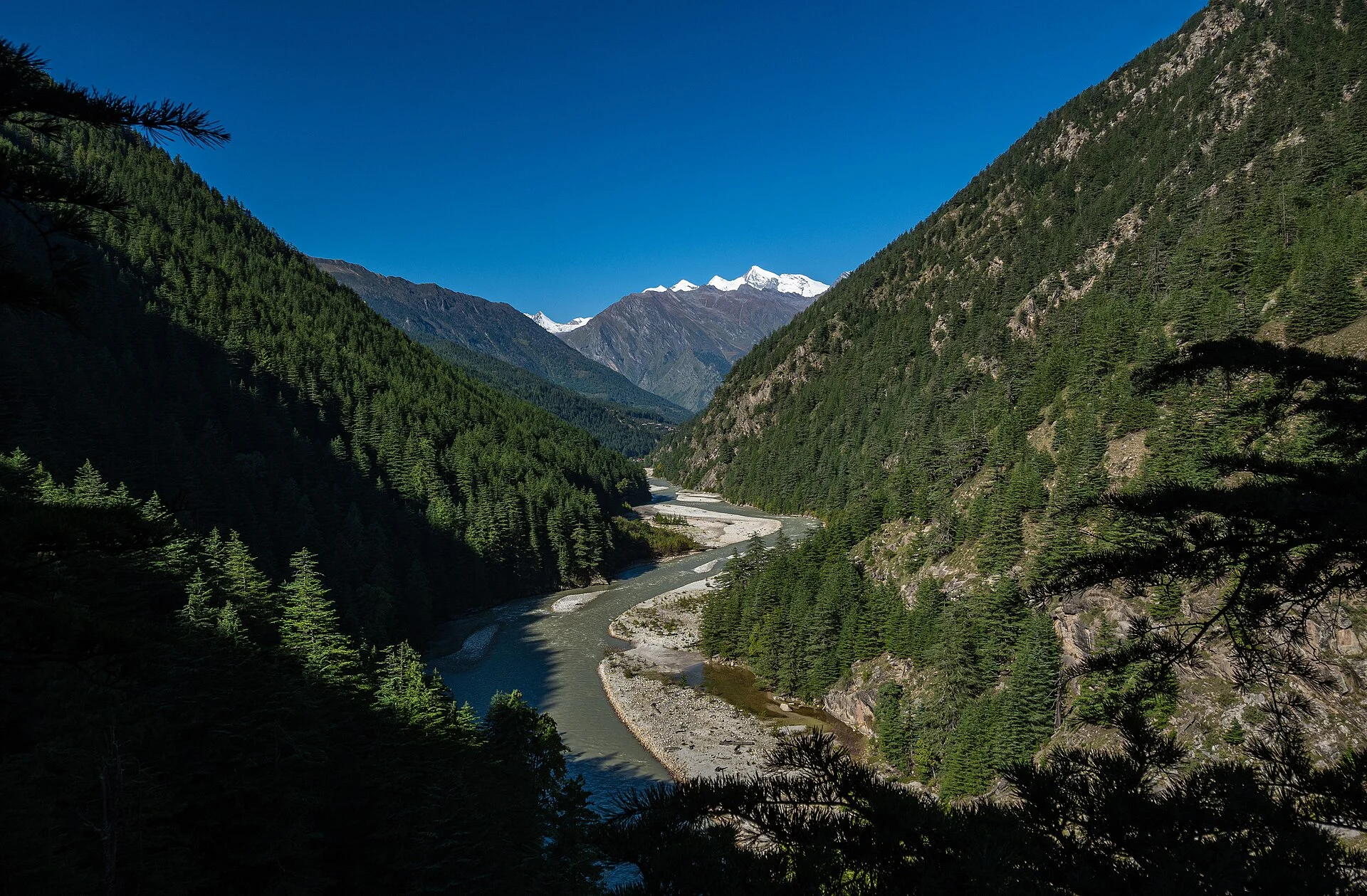
Photo: KNDS4413, CC BY-SA 4.0
Updated November 2026 · HP Tourism registered travel agent · Reg. No. DTO-MND-11-243/2022 · certificates · हिंदी में पढ़ें: उत्तरकाशी का मौसम
Uttarkashi is the district town of the upper Bhagirathi valley, at about 1,160 m and about 145 km from Rishikesh — the last big town on the way to Gangotri, and the base for treks such as Dodital and Dayara Bugyal. Winters are cool rather than snowy in town: January days are around 16 °C and nights a few degrees above freezing, while Harsil and Gangotri higher up are under snow. Summer afternoons are warm, around 30 °C in May–June. July and August are the wettest months, with cloudbursts and landslides on the highway. March–June and September–November are the most comfortable months.
- ColdestJanuary — days about 16 °C, nights about 3 °C (estimate).
- WarmestMay — days about 32 °C (estimate).
- MonsoonJuly–August; landslides on the Gangotri highway.
- SnowRare in town; regular at Harsil and Gangotri.
- Best monthsMarch–June, September–November.
Uttarkashi, Harsil and Gangotri weather today
Uttarkashi (about 1,160 m), Harsil (about 2,620 m) and Gangotri (about 3,100 m) up the valley — current temperature and the next days’ high, low, rain and snow.
Forecast data: MET Norway (CC BY 4.0), refreshed about once a day — last update —.
Uttarkashi weather by month
The temperatures below are rough estimates: the India Meteorological Department’s 1991–2020 normals for Dehradun (about 640 m), lowered by about 3.5 °C for Uttarkashi’s extra 520 m of height and rounded. The valley’s mornings can be colder than this in winter. For your dates, check the live forecast above.
| Month | Approx. high / low* | What to expect |
|---|---|---|
| January | 16° / 3 °C | Coolest; frosty mornings |
| February | 19° / 6 °C | Cool; winter showers |
| March | 24° / 10 °C | Pleasant |
| April | 29° / 14 °C | Warm, clear |
| May | 32° / 18 °C | Warmest; Char Dham season |
| June | 31° / 20 °C | Warm; monsoon arrives late June |
| July | 27° / 20 °C | Wettest; landslides |
| August | 27° / 20 °C | Very wet; cloudbursts |
| September | 27° / 18 °C | Rain easing |
| October | 26° / 13 °C | Clear and pleasant |
| November | 22° / 8 °C | Dry, crisp |
| December | 18° / 4 °C | Cool, sunny days |
*Estimated from Dehradun’s IMD normals (1991–2020) adjusted for height — not official Uttarkashi records. Up the valley: Harsil weather · Gangotri weather.
Uttarkashi as a base: Gangotri, Harsil and the treks
Uttarkashi sits on the Bhagirathi with the Kashi Vishwanath temple in town and the Nehru Institute of Mountaineering just above it. On the Char Dham route it is the usual night stop between Yamunotri and Gangotri. Harsil is about 75 km up the valley and Gangotri about 100 km; both are much colder and get snow in winter.
It is also the starting point for treks such as Dodital and Dayara Bugyal, which are popular in spring, autumn and, for snow, in winter. In the monsoon, landslides and cloudbursts regularly close the road towards Gangotri, sometimes for days — keep spare time in July–August.
Weather nearby: Harsil · Gangotri · Yamunotri · Kedarkantha.
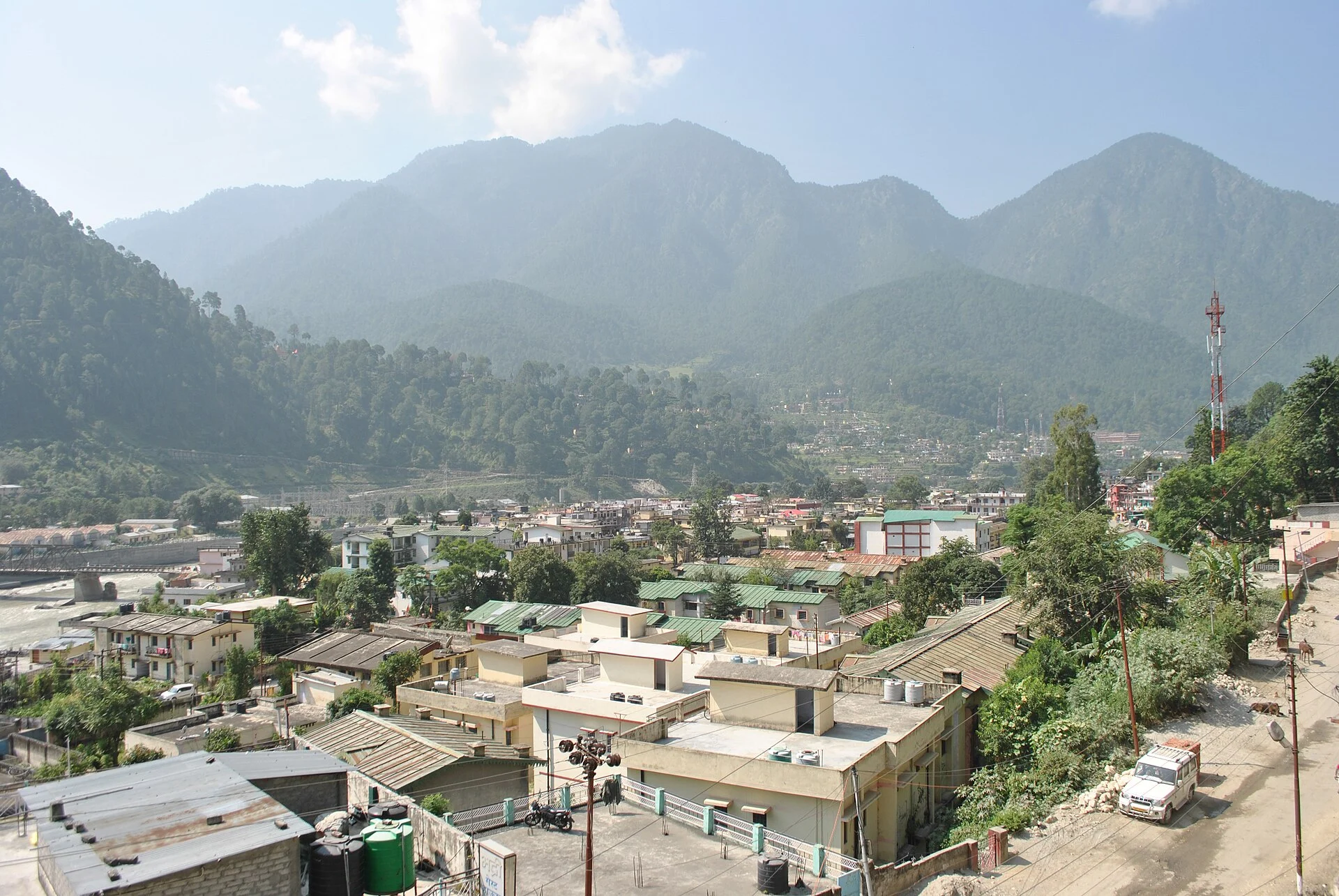
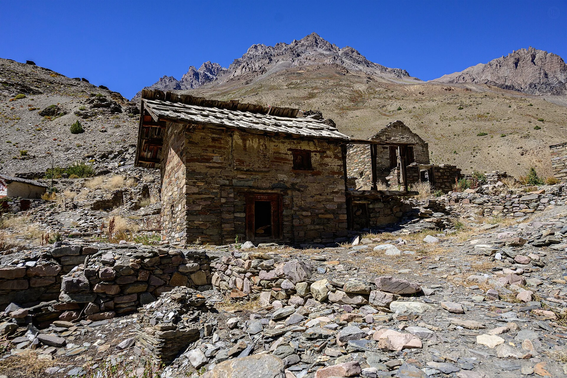
Uttarkashi and the Bhagirathi valley in pictures
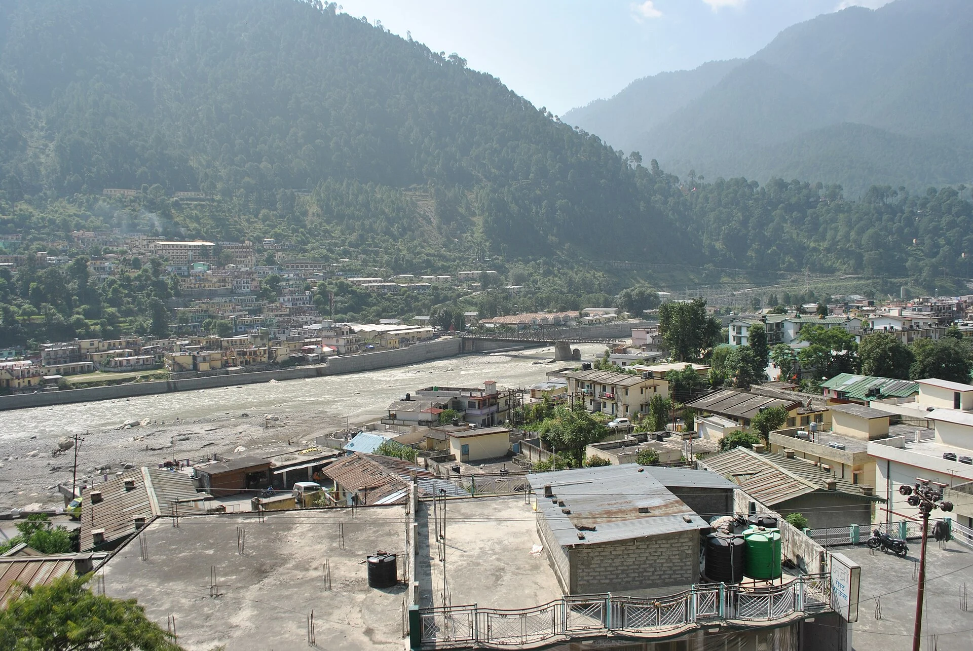
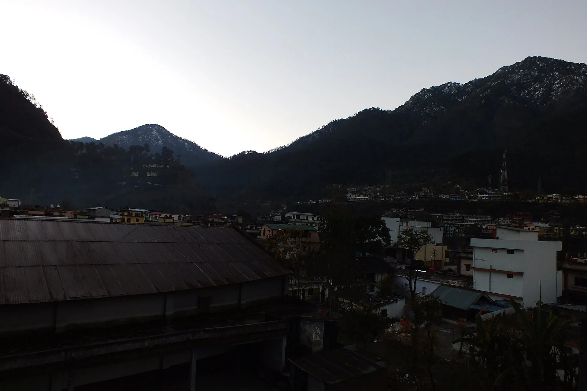
Uttarkashi town, the villages of the district, Harsil and Gangotri up the valley — real photographs, each credited to its photographer.


Best time to visit Uttarkashi
Depending on what you are going for.
Pleasant weather
Warm days, cool nights.
Gangotri yatra
Uttarkashi is the night stop.
Clear skies
Driest months.
Snow nearby
At Harsil, Dayara and Gangotri, not in town.
Treks
Dodital, Dayara Bugyal.
Take care
Landslides and cloudbursts.
Uttarkashi trip: what the weather means for you
Clothing: a warm jacket for winter evenings and for any trip up the valley; light layers in summer; rain gear and good shoes in the monsoon.
Getting there: Uttarkashi is about 145 km from Rishikesh and about 170 km from Dehradun’s Jolly Grant airport, via Chamba or via Mussoorie and Suwakholi. Cab: Char Dham yatra taxi.
Our Uttarakhand trips
Hotels, meals and a private car in one quote.
Planning Uttarkashi or Gangotri?
Tell us your dates, where you are starting from and how many of you are travelling. We check the weather and the road and send a written quote with stays and a private car. Suzu Travels is a travel agent registered with HP Tourism, based in Bilaspur, Himachal Pradesh, and plans trips across north India.
Uttarkashi weather: frequently asked questions
What is the weather in Uttarkashi today?
The top of this page shows the current temperature and the next days’ forecast for Uttarkashi, Harsil and Gangotri (MET Norway data).
Does it snow in Uttarkashi?
Rarely in town; Harsil, Dayara Bugyal and Gangotri higher up get regular winter snow.
How cold is Uttarkashi in winter?
January days are about 16 °C and nights about 3 °C (an estimate), with frosty mornings.
Which are the wettest months in Uttarkashi?
July and August; landslides often close the highway towards Gangotri.
When is the best time to visit Uttarkashi?
March–June and September–November.
How far is Uttarkashi from Gangotri?
About 100 km by road, via Harsil.
Sources
- MET Norway Locationforecast (CC BY 4.0) — live forecast data
- India Meteorological Department — Dehradun normals 1991–2020 (height-adjusted estimate)
- Wikipedia: Uttarkashi
Photo credits
Uttarkashi on the Bhagirathi — Photo: KNDS4413, CC BY-SA 4.0 · Uttarkashi city — Photo: Atudu, CC BY-SA 4.0 · Uttarkashi town — Photo: Atudu, CC BY-SA 4.0 · Morning at Uttarkashi — Photo: Prakhartodaria, CC BY-SA 3.0 · Jadhang village — Photo: Harshit SR, CC BY-SA 4.0 · The Harsil valley — Photo: Harshit SR, CC BY-SA 4.0 · Peaks above Harsil — Photo: Dpcinh, CC BY-SA 4.0 · Gangotri on the Bhagirathi — Photo: Dhwani Shree, CC BY-SA 4.0 · Gangotri temple — Photo: envybalki, CC BY 2.0