

Kedarkantha weather: today, this week and through the season
Live temperature and a five-day forecast for the Kedarkantha summit, Sankri and Dehradun, what each month is like on the trek, how cold the camps get, and when there is snow.
- ~3,800 m summit
- ~1,950 m Sankri
- Dec–Mar snow on the trail
- Live 3 places
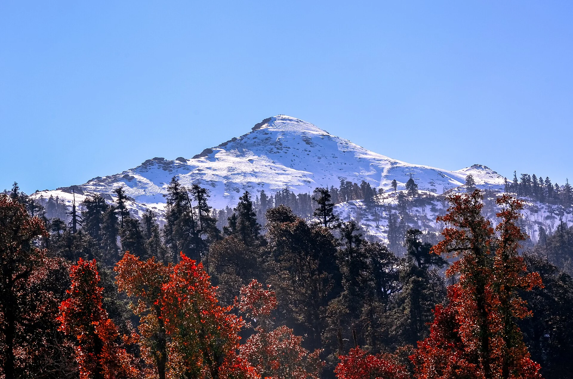
Photo: Kanthi Kiran, CC BY-SA 4.0
Updated November 2026 · HP Tourism registered travel agent · Reg. No. DTO-MND-11-243/2022 · certificates
Kedarkantha (about 3,800 m) is a winter summit trek in the Govind Wildlife Sanctuary, Uttarkashi district, starting from Sankri village (about 1,950 m). From about December to March the upper trail, Juda ka Talab and the base camp are under snow; nights at the high camps fall well below freezing — often −5 to −10 °C, colder on summit morning — while Sankri is around 10–12 °C by day and near freezing at night. December–February is the classic snow trek; March–April has longer, milder days with snow still on top; October–November is clear and dry with little snow. July–August is the monsoon, when trekking is not advised.
- Snow seasonAbout December to March; most snow in January–February.
- Camp nightsOften −5 to −10 °C in winter, colder near the summit.
- SankriDays 10–12 °C in winter, nights near freezing.
- Clear, dryOctober–November.
- AvoidJuly–August (monsoon).
Kedarkantha, Sankri and Dehradun weather today
The Kedarkantha summit area (about 3,800 m), Sankri, where the trek starts (about 1,950 m), and Dehradun (about 640 m), where most trips begin — current temperature and the next days’ high, low, rain and snow.
Forecast data: MET Norway (CC BY 4.0), refreshed about once a day — last update —.
Kedarkantha weather by month
There are no published IMD averages for Sankri or Kedarkantha. Sankri is at about the same height as Joshimath, so the Sankri column gives the India Meteorological Department’s 1971–2000 normals for Joshimath, rounded, as a guide. The trek column describes typical conditions on the trail and at the camps — these are not measurements. For your dates, use the live forecast above.
| Month | Sankri approx. high / low* | On the trek |
|---|---|---|
| January | 11° / 2 °C | Deep snow from Juda ka Talab up; very cold camps |
| February | 12° / 3 °C | Snow on the trail; storms possible |
| March | 17° / 7 °C | Snow on the upper trail; longer days |
| April | 21° / 11 °C | Snow patches near the top; rhododendrons |
| May | 24° / 14 °C | Mostly snow-free; mild days |
| June | 25° / 16 °C | Green; pre-monsoon showers |
| July | 23° / 17 °C | Monsoon — not advised |
| August | 23° / 17 °C | Monsoon — not advised |
| September | 22° / 15 °C | Rain easing; green meadows |
| October | 22° / 11 °C | Clear and dry; cold nights |
| November | 17° / 7 °C | Dry, very clear; first snow possible up high |
| December | 13° / 4 °C | Snow season begins; cold camps |
*Joshimath IMD normals (1971–2000), rounded, as a reference for Sankri — not official Sankri records. Nearby weather: Mussoorie weather.
Snow on the Kedarkantha trek: what to expect
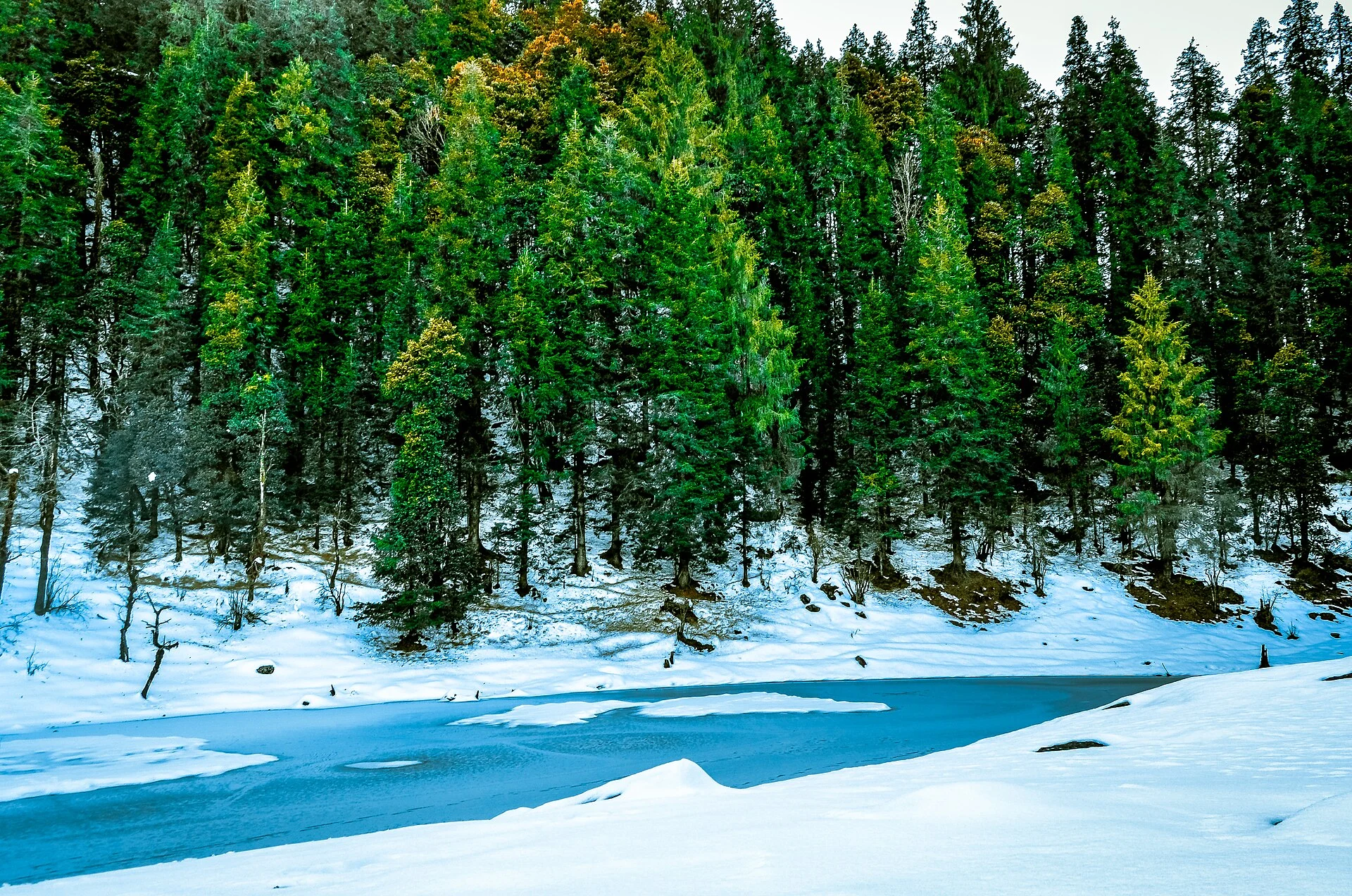
Snow usually settles on the upper trail in December and lasts into March, deepest in January and February. Juda ka Talab, the small lake in the forest above Sankri, freezes over in mid-winter, and the base camp meadows lie under a thick white blanket. A heavy snowfall can block the trail or the road to Sankri for a day or two, so a buffer day matters.
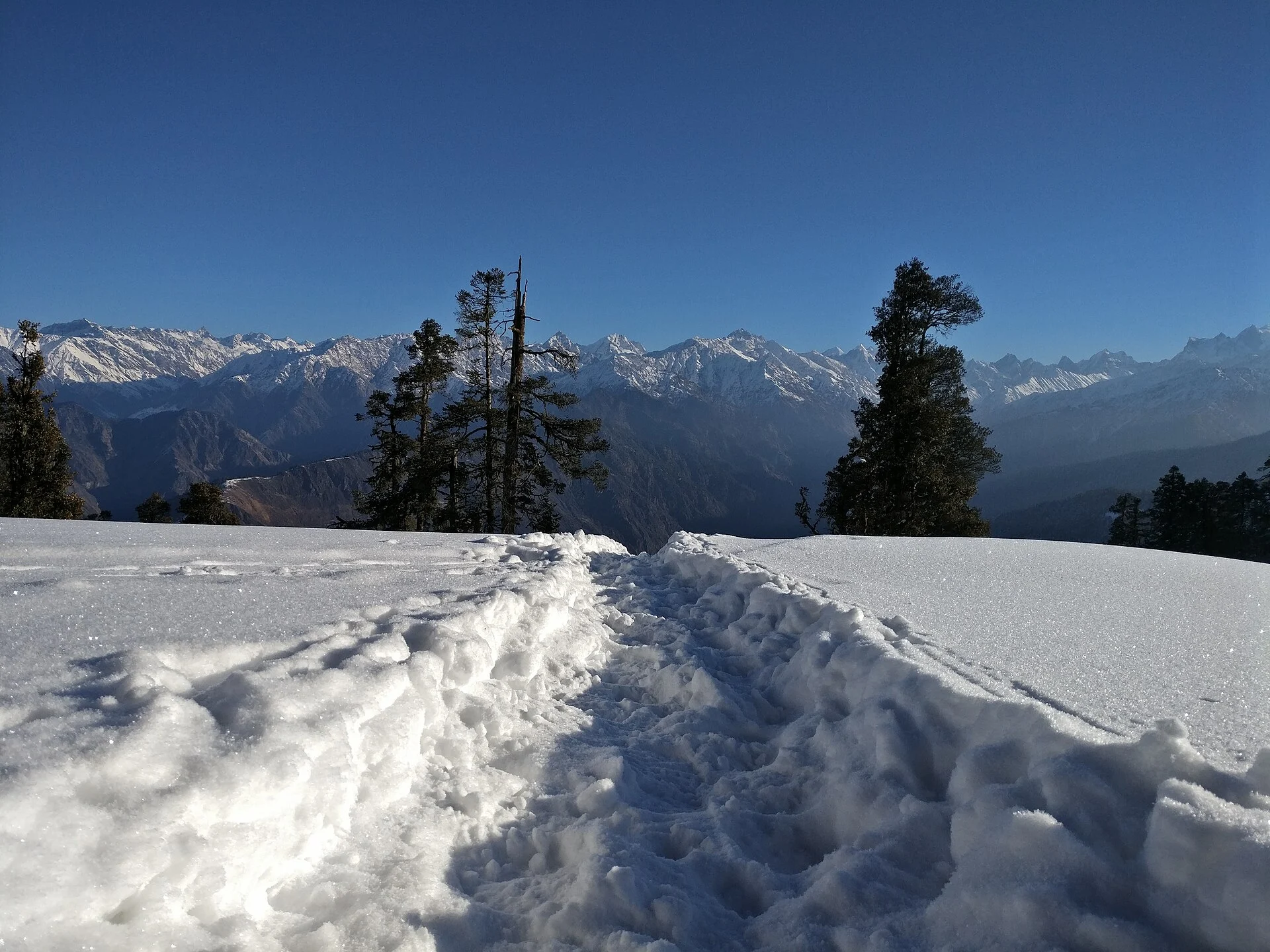
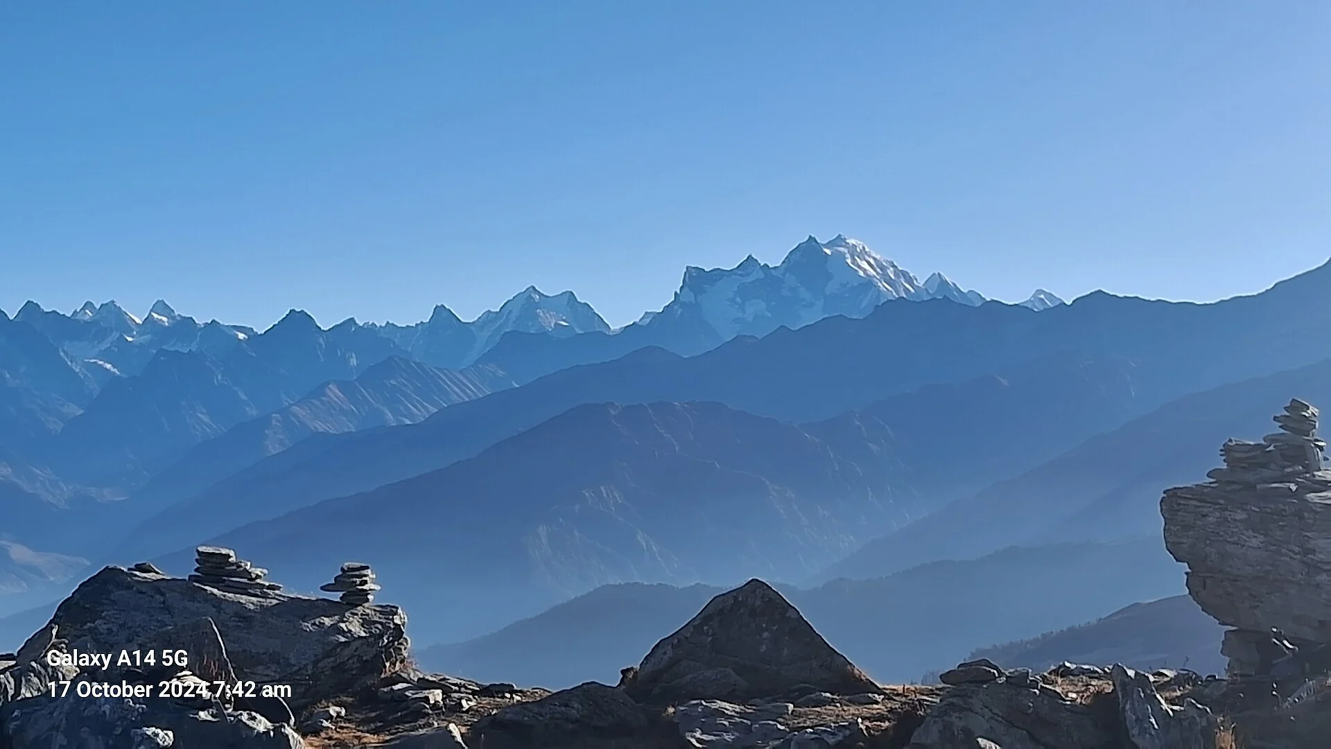
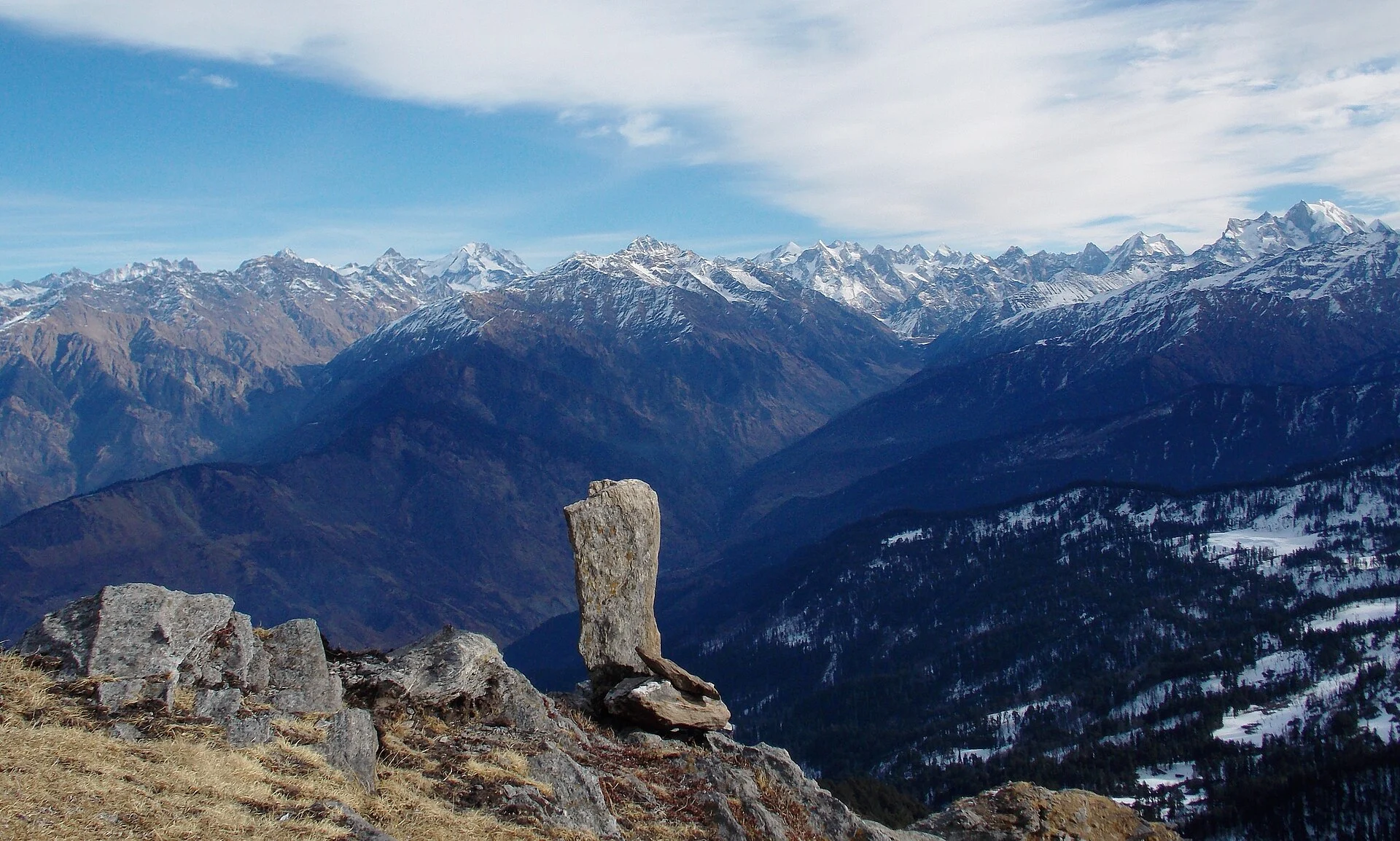
Summit day starts in the dark, when it is coldest; from the top, on a clear morning, you see a long line of Garhwal peaks, including the Swargarohini and Bandarpoonch ranges. In late March and April the snow softens by midday; from October to November the trail is mostly dry and the skies are at their clearest.
Nearby weather: Chopta weather and Kedarnath weather.
Kedarkantha in pictures
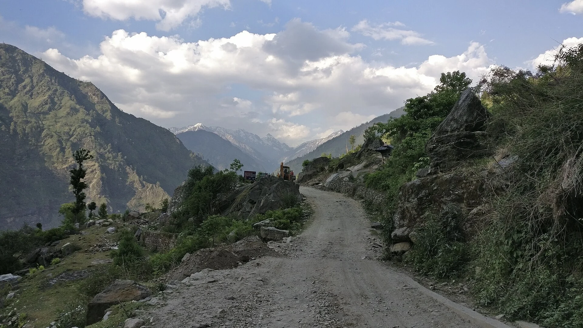
The Kedarkantha peak, Juda ka Talab in snow, the base camp and the view from the summit — real photographs, each credited to its photographer.



Best time for the Kedarkantha trek
Depending on what you are going for.
Snow trek
Deep snow; very cold camps.
Snow with milder days
Snow on top; longer days.
Clear and dry
Best visibility; little snow.
New Year on the trail
Busy — plan ahead.
Green trail
Snow-free, mild.
Avoid
Monsoon rain and landslides.
Kedarkantha trek: what the weather means for you
Clothing in winter: a down jacket, thermal layers, fleece, waterproof outer layer, warm cap, two pairs of gloves, woollen socks, and trekking shoes with good grip; gaiters and microspikes help in deep snow. The camps are cold even when the days are sunny.
Getting there: Sankri is a long day’s drive from Dehradun — roughly 190 km through Mussoorie, Purola and Mori. Start early; in winter the last stretch can be icy, and after heavy snow it may close for a day. Cab: Dehradun taxi service.
Health: walk slowly, drink plenty of water and turn back if you feel unwell — the summit is at about 3,800 m.
Our Uttarakhand trips
Stays, meals and a private car in one quote.
Planning the Kedarkantha trek?
Tell us your dates, where you are starting from and how many of you are travelling. We check the weather and the road to Sankri and send a written quote for the drive and stays before and after the trek. Suzu Travels is a travel agent registered with HP Tourism, based in Bilaspur, Himachal Pradesh, and plans trips across north India.
Kedarkantha weather: frequently asked questions
What is the weather at Kedarkantha today?
The top of this page shows the current temperature and the next days’ forecast for the Kedarkantha summit area, Sankri and Dehradun (MET Norway data).
When is there snow on the Kedarkantha trek?
Usually from about December to March, deepest in January and February.
How cold is Kedarkantha in December?
Sankri is around 13 °C by day and near freezing at night; the high camps often drop to −5 to −10 °C, colder on summit morning.
What is the best time for the Kedarkantha trek?
December to February for a snow trek, March–April for snow with milder days, October–November for clear, dry weather.
Can you do Kedarkantha in the monsoon?
It is not advised — July and August bring heavy rain, slippery trails and landslides on the road.
How far is Sankri from Dehradun?
Roughly 190 km — a long day’s drive through Mussoorie, Purola and Mori.
Sources
- MET Norway Locationforecast (CC BY 4.0) — live forecast data
- India Meteorological Department — Joshimath normals 1971–2000 (reference for Sankri)
- Wikipedia: Kedarkantha
Photo credits
Kedarkantha peak above the forest — Photo: Kanthi Kiran, CC BY-SA 4.0 · Juda ka Talab in winter — Photo: Kanthi Kiran, CC BY-SA 4.0 · Snow at the base camp — Photo: rakesh kumar, CC BY-SA 4.0 · The snow trail to the summit — Photo: rakesh kumar, CC BY-SA 4.0 · Kedarkantha meadows in snow — Photo: rakesh kumar, CC BY-SA 4.0 · The Himalaya from the summit — Photo: Atulbhats, CC BY-SA 4.0 · On the summit ridge — Photo: Lawanoopyadav, CC BY-SA 4.0 · Snow peaks from the trail — Photo: Ghodki, CC BY-SA 4.0 · The road to Sankri — Photo: Pathaharapathik, CC BY-SA 4.0