
Trishul Peak (Trisul, 7,120 m): The First 7,000 m Summit
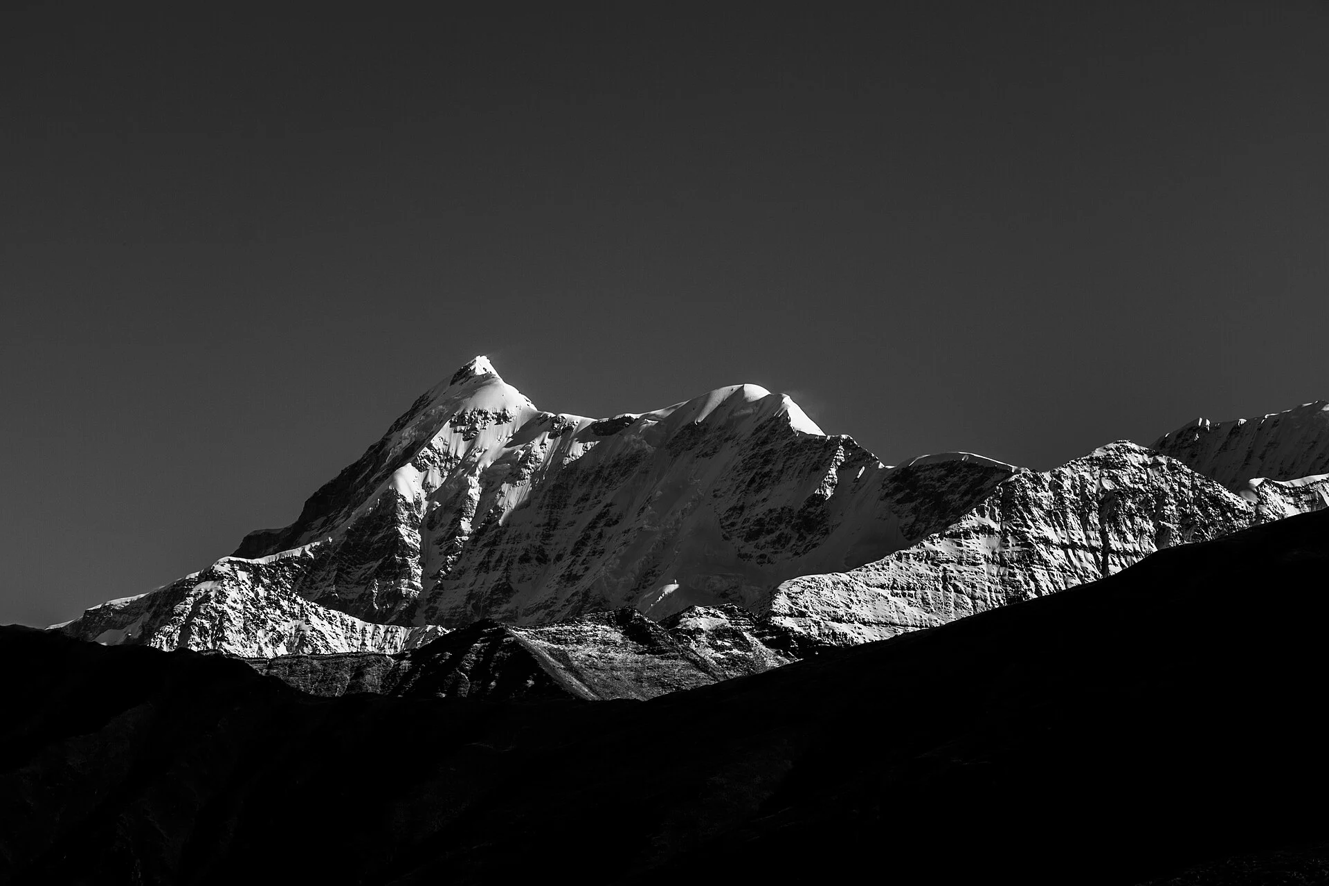
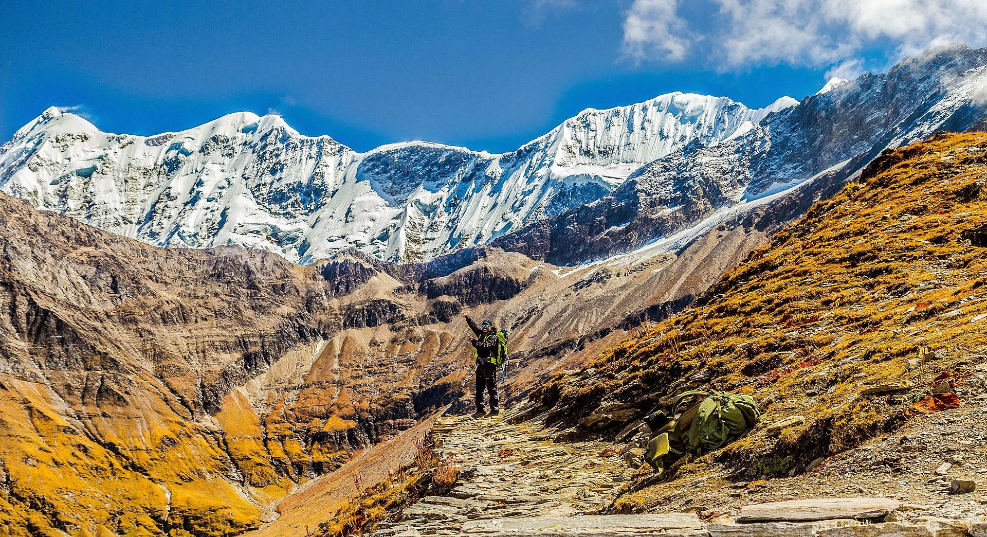 Photo: Shaswat Nimesh, CC BY-SA 4.0
The trident that opened the 7,000 m era.
Trisul I was the first peak above 7,000 m that anyone ever climbed, in June 1907. Here are its three summits, the modern west-ridge route from Hom Kund camp by camp, how hard it really is, the season, the 2026 permit rules and its story from Longstaff to today.
- 7,120 m Trisul I (23,360 ft)
- 12 Jun 1907 first 7,000 m summit
- May–Jun Sep–Oct
- 4 camps Hom Kund to the top
- 2026 open (Uttarakhand list)
Mountains of India › Uttarakhand › Trishul Peak
Last verified 6 Nov 2026
How high is Trishul peak, and how do you climb it?
Trishul peak (Trisul I, also called Trishul Parvat) is 7,120 m (23,360 ft) high, in Chamoli district, Uttarakhand, on the south-west rim of the Nanda Devi Sanctuary. On 12 June 1907 it became the first 7,000 m summit ever climbed. Today teams start from Sutol, camp at Hom Kund and climb the west ridge. It is open in 2026. See all 7,000 m peaks in India.
Status, checked 6 November 2026: open. The Trishul group is named in the list of 83 peaks that Uttarakhand opened in February 2026. Indian climbers apply on the state’s UKMPS portal and pay no state fees in 2026; foreign teams pay only the IMF fees.
Its real record. On 12 June 1907 Tom Longstaff, the Courmayeur guides Alexis and Henri Brocherel and the Gurkha Karbir stood on top: the first summit above 7,000 m ever reached, and probably the highest summit anyone had climbed at the time. That record held until Pauhunri (7,128 m) was climbed in 1911. The climb is also often noted as the first major ascent to use supplementary oxygen. Kamet, in 1931, set a different record: the first summit above 25,000 ft. Our timeline of Himalayan first ascents puts them in order.
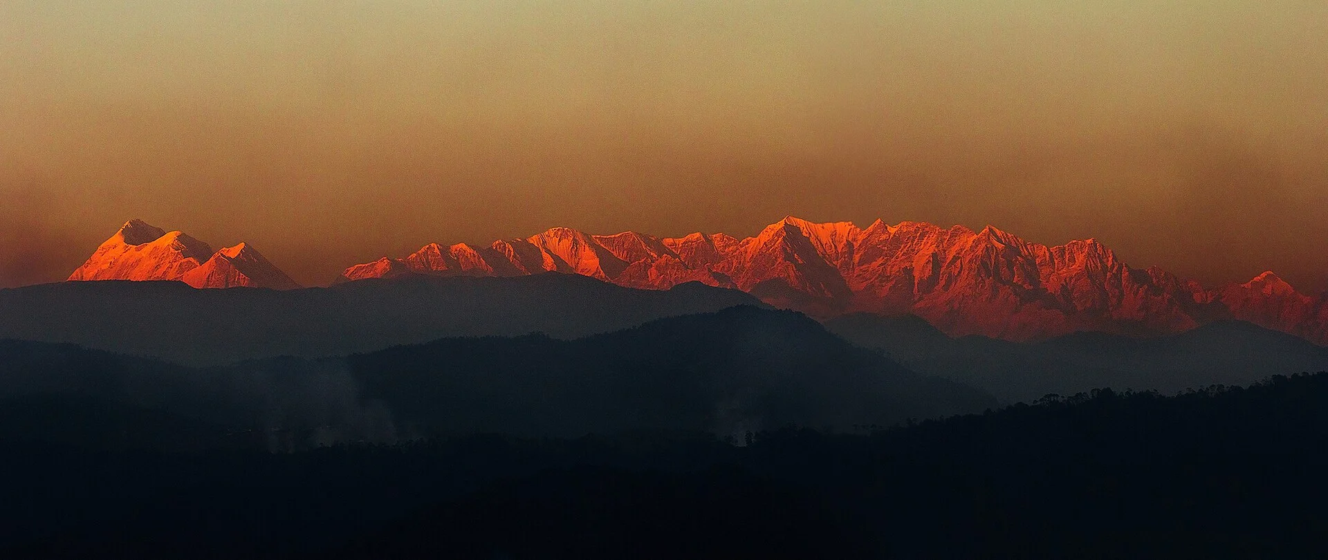
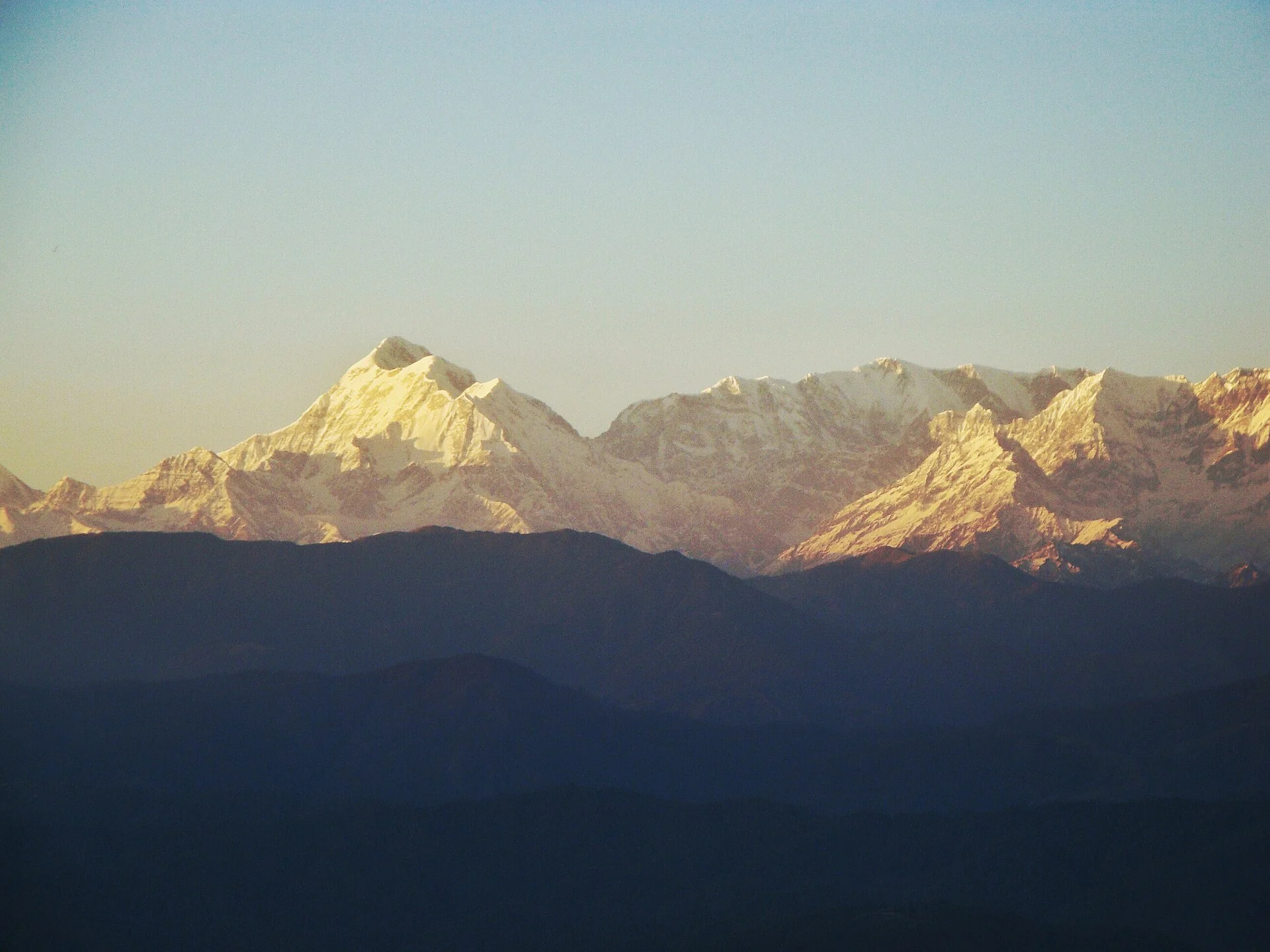
Trisul is a massif of three summits strung along a ridge, which is where the name comes from: from a distance they read as the three points of a trident. It stands on the rim of peaks that rings the Nanda Devi Sanctuary, and it dominates the skyline on the Roopkund trek route. For the bigger picture, see our Indian Himalaya guide, the highest peaks in Uttarakhand and the full list of India’s highest peaks.
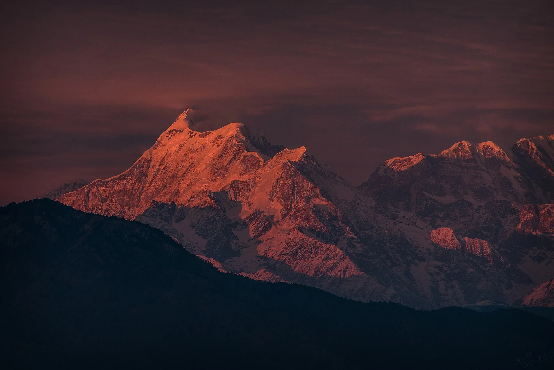
Trisul in pictures
The trident massif of Garhwal from Bedni Bugyal, from Kausani and in the golden hour — real photographs, each credited to its photographer.
Route from Hom Kund, camp by camp
The modern standard route starts at Sutol (also written Sitel), the nearest road-head in Chamoli district. The walk-in runs through Tatra, Bhujani and Dudhang to Hom Kund, with base camp at about 4,110 m near the lake, reached by a steep couloir. The 2013 Army team took about a week from the road-head to base camp.
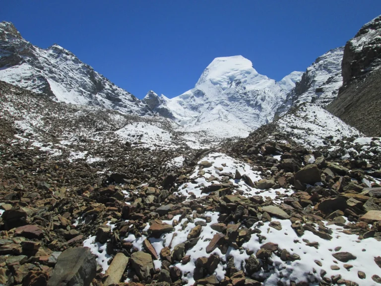
Above base camp the route climbs onto the Ronti (Raunthi) glacier for Camp 1 at about 5,150 m, below Trisul I’s west face, then the upper icefield to Camp 2 on the shoulder at about 5,950 m. The summit camp sits at about 6,360 m in a small niche behind an ice cliff. From there the west ridge leads to the top; teams fixed rope to about 6,750 m, and the final ridge has a steep step of about 50 m. Camp heights come from the 2013 and 2017 accounts in the Himalayan Journal and vary from year to year.
The historic route. Longstaff’s team in 1907, and the 1970 women’s team, came from the north: up the Rishi Ganga valley, onto the Trisul glacier and up the north-east flank to the north ridge. That approach runs through the Nanda Devi National Park, so we do not present it as an open route today.
| Camp / point | Altitude | Notes |
|---|---|---|
| Hom Kund base camp | 4,110 m / 13,484 ft | Near the lake, reached by a steep couloir (4,385 m in 2017) |
| Camp 1 | 5,150 m / 16,896 ft | Ronti glacier, below Trisul I's west face (about 5,120–5,150 m) |
| Camp 2 | 5,950 m / 19,521 ft | The shoulder on the upper Ronti icefield |
| Summit camp | 6,360 m / 20,866 ft | Small niche behind an ice cliff (6,420 m in 2013) |
| Trisul I summit | 7,120 m / 23,360 ft | West ridge: fixed rope to about 6,750 m, a steep step near the top |
How hard is Trishul peak?
Our dataset grades Trisul I moderate: the north side is a long snow-and-glacier climb with few technical problems for its height. The leader of the 1970 women’s ascent called it “a fairly easy climb in good weather”. But it is still a 7,000 m peak, and the modern west ridge is harder: the 2017 team fixed ropes to about 6,750 m and found the final ridge difficult, and the 2013 team turned back below a heavily corniced top.
The upper slopes also carry real avalanche risk. On 1 October 2021 an avalanche at about 6,700 m hit an Indian Navy summit team; four Navy climbers were confirmed dead and six people were initially missing. Arrive with at least one solid 6,000 m summit and good fixed-rope skills. In Himachal, the natural steps are Deo Tibba (6,001 m), then Mulkila (6,517 m) and Reo Purgyil (6,816 m). Read our altitude sickness guide before you go higher.
- ExperienceAn earlier summit above 6,000 m and time on crevassed glaciers.
- TechniqueCrampons and ice axe on steep snow and ice, fixed ropes, jumaring and crevasse rescue.
- FitnessLoad carries between four camps and a long summit day of about 750 m from the top camp.
- JudgementReading fresh snow and avalanche slopes, and the discipline to turn back.
- TrainingA Basic and an Advanced Mountaineering Course; Indian teams also follow IMF rules on team qualifications.
Best time to climb Trisul
May to June and September to October. Recorded summits fit those windows: 12 June 1907, 23–24 June 1951, 4 June 1970, an attempt from 30 May to 3 June 2013, and 6 October 2017.
Plan for a long trip: the 2013 team left the road-head on 11 May and made its summit attempt from 30 May, so summit days come two to three weeks in. Build in weather days, because fresh snow loads the upper slopes where the 2021 avalanche struck.
| Jan | Feb | Mar | Apr | May | Jun | Jul | Aug | Sep | Oct | Nov | Dec |
BestPossibleClosed / not advised
Permits for Trisul in 2026
Indian climbers apply on Uttarakhand’s UKMPS portal. The Trishul group is on the state’s February 2026 list of 83 open peaks, and all state fees are waived for Indian climbers in 2026. IMF rules for Indian teams still apply.
Foreign nationals need IMF permission, applied for at least 90 days ahead, with a liaison officer and insurance. Above 7,000 m the IMF base fee is US$1,000 for a team of two, plus US$500 for liaison-officer equipment, and per-member charges apply (IMF peak-fee page, as of 1 Oct 2026). More in our IMF permit and peak fees guide and mountaineering in India for foreign climbers.
The historic northern approach runs through the Nanda Devi National Park. Confirm the current rules with the Uttarakhand Forest Department before planning any route through it.
What to pack
- Insulated mountaineering boots rated for 7,000 m, with crampons
- A mountaineering ice axe, a jumar (ascender) and a descender
- Climbing harness, helmet, carabiners and slings
- Down suit or heavy down jacket, and a sleeping bag for −25 °C or colder
- Windproof and waterproof shell jacket and trousers
- Summit mitts plus liner gloves
- Glacier sunglasses (UV400), goggles and sunscreen
- Headlamp with spare batteries for the pre-dawn start
- Trekking poles for the walk-in and the couloir to Hom Kund
- Two insulated water bottles and a personal first-aid kit
Climbing history of Trisul
12 June 1907: the first ascent, by Tom Longstaff with Alexis and Henri Brocherel and Karbir (Burathoki), on an expedition that also included C.G. Bruce and A.L. Mumm. They came up the Rishi Ganga, onto the Trisul glacier and up the north-east flank to the north ridge, climbing about 1,800 m on summit day from a top camp near 5,320 m. It was the first 7,000 m summit ever climbed.
1911: Pauhunri (7,128 m) was climbed and took the record for the highest summit reached. 1933: Peter Oliver made the second ascent of Trisul.
23–24 June 1951: Gurdial Singh and Roy Greenwood climbed the north ridge from the west, followed the next day by Robert Walter and Nyima Tensing. 1960: a Yugoslav team made the first ascents of Trisul II and Trisul III.
4 June 1970: Meena Agrawal’s women’s team reached the top by the north-east face from a base camp at Tridang, with Pasang Lhakpa, Nima Tensing and Nima Dorji.
1976: Yugoslav climbers made the first ascent of the south face. 1987: another Yugoslav team made the first traverse of all three summits, and two of them paraglided from the top.
2013: an Indian Army (Central Command) team climbed the west ridge from Hom Kund. 6 October 2017: a British-led team summited by the west ridge; their GPS read 7,145 m on top, against the official 7,120 m.
1 October 2021: an avalanche at about 6,700 m struck an Indian Navy expedition; four Navy climbers were confirmed dead, and NIM Uttarkashi led the search. February 2026: the Trishul group was named in Uttarakhand’s list of 83 opened peaks.
Other Uttarakhand peaks of a similar height
-
Uttarakhand7,138 m23,419 ft
Chaukhamba I
-
Uttarakhand7,151 m23,461 ft
Hardeol
-
 Uttarakhand
7,075 m23,212 ft
Satopanth
-
Uttarakhand7,074 m23,209 ft
Tirsuli
Trishul peak: questions people ask
How high is Trishul peak?
Trisul I, the main summit, is 7,120 m (23,360 ft). Trisul II is about 6,690 m and Trisul III about 6,000 m.
Where is Trishul Parvat?
In Chamoli district, Uttarakhand, on the south-west rim of the Nanda Devi Sanctuary, about 15 km from Nanda Devi.
Why is it called Trishul?
Its three summits look like a trident, the trishula of Lord Shiva.
Who first climbed Trishul?
Tom Longstaff with the guides Alexis and Henri Brocherel and the Gurkha Karbir, on 12 June 1907.
Which was the first 7,000 m peak ever climbed?
Trisul I, in 1907. Kamet, climbed in 1931, was the first summit above 25,000 ft, which is a different record.
Can you climb Trishul in 2026?
Yes. The Trishul group is on Uttarakhand’s February 2026 list of 83 opened peaks. Indian climbers apply on the state’s UKMPS portal; foreign teams apply through the IMF.
How difficult is Trisul?
It is a long snow-and-glacier climb to 7,120 m. The classic north side is technically easy for its height, but the modern west ridge has fixed-rope sections and a steep final step, and the upper slopes carry avalanche risk.
What happened on Trishul in 2021?
On 1 October 2021 an avalanche at about 6,700 m hit an Indian Navy summit team. Four Navy climbers were confirmed dead and six people were initially missing.
What is the best season to climb Trisul?
May to June and September to October.
Want your first 7,000er one day? Start in Himachal
Suzu arranges climbs in Himachal only, so we do not sell Trisul. If it is your goal, Himachal climbs build the record it needs: Friendship Peak or Yunam first, then Deo Tibba, Mulkila or Reo Purgyil. Tell us your dates, team size and experience, and we pair you with a registered Himachal outfitter and certified guides. Price: Get Quote.
Keep exploring
 Peaks of Uttarakhand62 peaks · Nanda Devi 7,816 m to Nag Tibba
 Changabang6,864 m · the granite fang, first climbed 1974
 Kamet7,756 m · first summit above 25,000 ft, 1931
 Kang Yatse I & II6,250 m · Ladakh's open first 6,000er above the Markha ValleyMountains of IndiaRecords, permits and trainingHighest peaks in IndiaFull list of 161 peaksGuided peak climbsFriendship Peak to Deo Tibba
Sources
- Wikipedia — Trisul
- Alpine Journal 2007 — One hundred years ago (Trisul 1907)
- Himalayan Journal 30 — The ascent of Trisul, 1970
- Himalayan Journal 69 — Trisul, the west ridge (2013)
- Himalayan Journal 73 — Expeditions and explorations (Trisul 2017)
- Indian Navy — Mount Trishul expedition (2021)
- The Quint — Navy mountaineers missing after avalanche on Mount Trishul
- ETV Bharat (Feb 2026) — Uttarakhand opens 83 Himalayan peaks
- Uttarakhand UKMPS — apply for a mountaineering permit
- Indian Mountaineering Foundation — peak fees for foreign expeditions
- Wikipedia — Pauhunri
Photo credits
Trisul above autumn slopes — Photo: Shaswat Nimesh, CC BY-SA 4.0 · Trishul in the golden hour — Photo: Harshit SR, CC BY-SA 4.0 · The Trisul massif — Photo: Calcurabbie, CC BY-SA 4.0 · Trisul from Kausani — Photo: Aru10491, CC BY-SA 4.0 · Trisul from Bedni Bugyal — Photo: Yash Soorma, CC BY-SA 4.0 · Satopanth above the Gangotri moraines — Photo: Asish Das75, CC BY-SA 4.0 · Nanda Devi above the Garhwal ridges — Photo: Harshit SR, CC BY-SA 4.0 · Kalanka and Changabang — Photo: Mechsourav, CC BY-SA 4.0 · Kamet across the Garhwal ridges — Photo: Rohit Gosain, CC BY-SA 4.0 · Kang Yatse above the Markha valley — Photo: SlartibErtfass der bertige, CC BY-SA 3.0