

Champawat weather: today, this week and through the year
Live temperature and a five-day forecast for Champawat, Lohaghat and Pithoragarh, approximate month-by-month temperatures and rain, and the best time to go.
- ~1,615 m Champawat
- ~14 km to Lohaghat
- Jul–Aug wettest
- Live 3 places
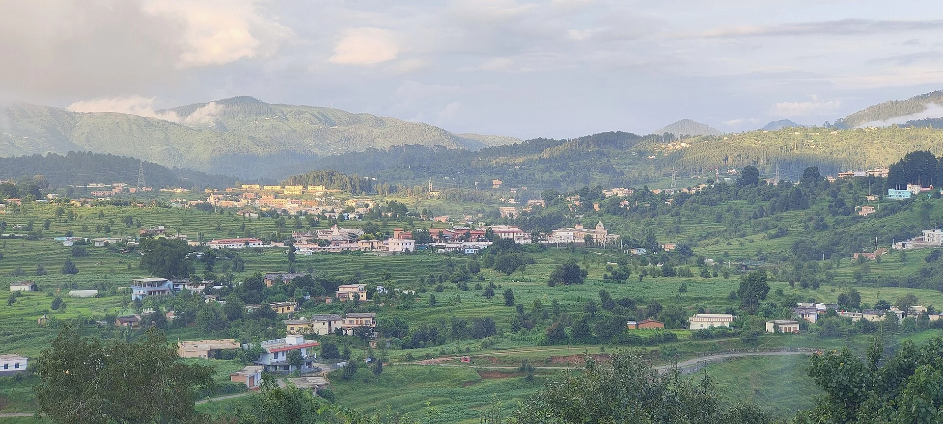
Photo: WhiteRaven335, CC BY-SA 4.0
Updated November 2026 · HP Tourism registered travel agent · Reg. No. DTO-MND-11-243/2022 · certificates
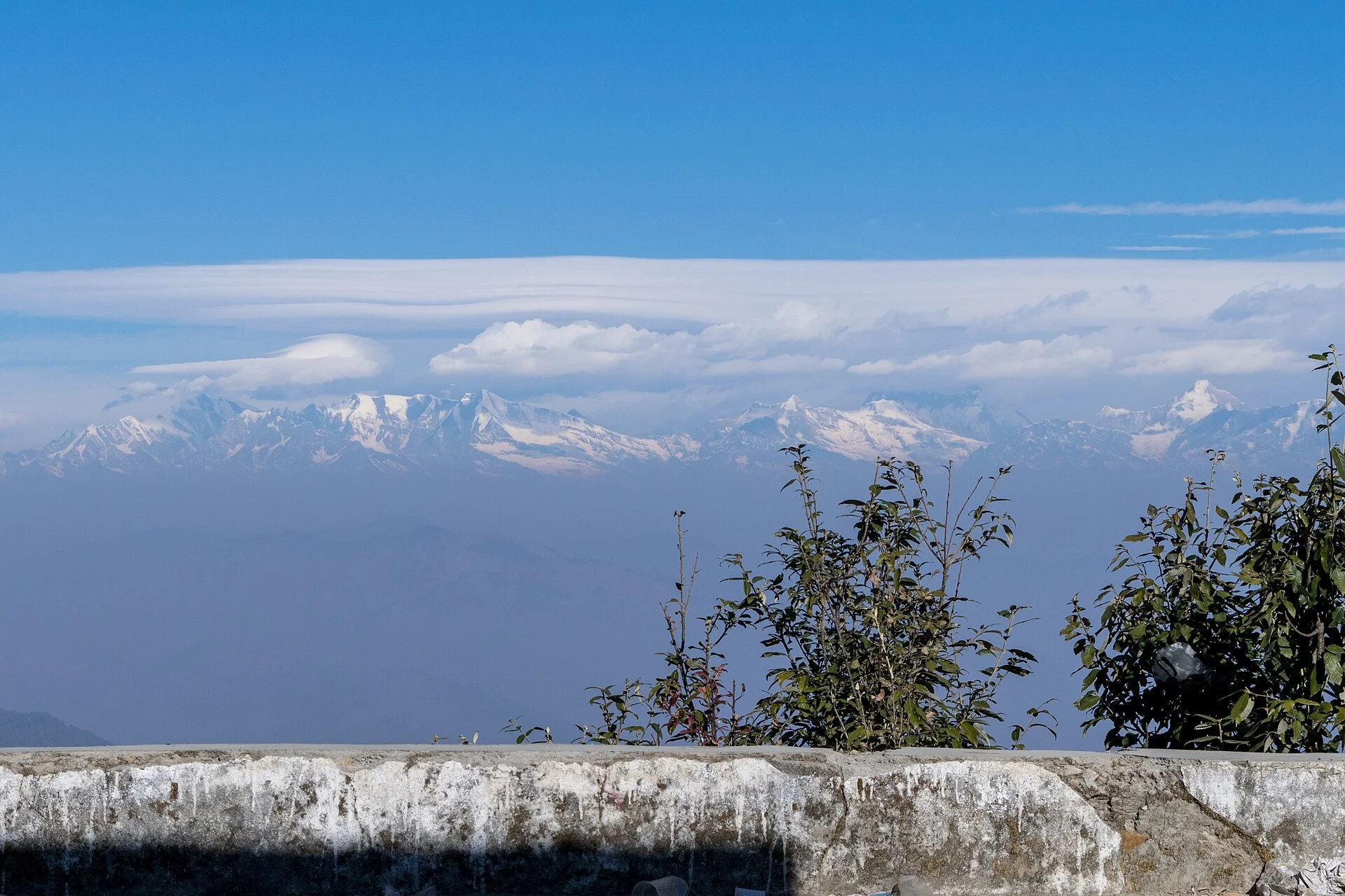
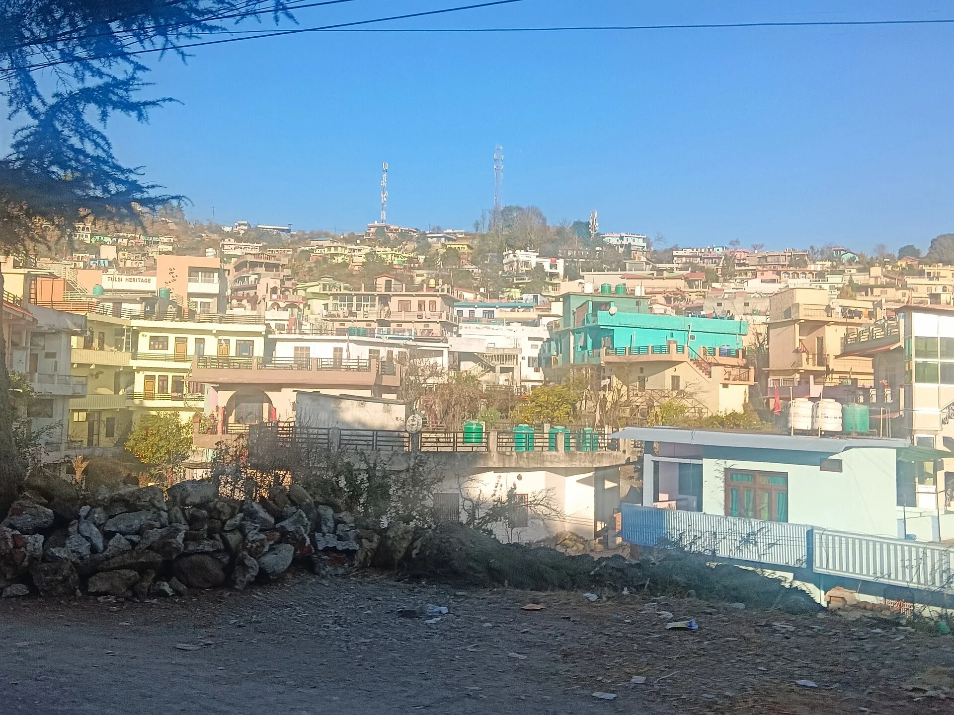
Champawat is a small hill town at about 1,615 m in south-eastern Kumaon — once the capital of the Chand kings — with Lohaghat about 14 km beyond it. Its weather is mild: winter days are around 15–17 °C with cold, frosty nights and only rare snow, while summer days reach the high 20s. July and August bring heavy rain and landslides on the hill roads. October to February has the clearest skies and Himalayan views from points such as Abbott Mount; March–June and September–November are the most comfortable months to visit.
- ColdestJanuary — days about 16 °C, nights about 5 °C (estimate).
- WarmestMay–June — days in the high 20s.
- WettestJuly–August; landslides on hill roads.
- SnowRare; light snow on the higher ridges in some winters.
- Best monthsMarch–June, September–November.
Champawat, Lohaghat and Pithoragarh weather today
Champawat (about 1,615 m), Lohaghat (about 1,700 m) and Pithoragarh (about 1,600 m) to the north — current temperature and the next days’ high, low and rain.
Forecast data: MET Norway (CC BY 4.0), refreshed about once a day — last update —.
Champawat weather by month
There are no recent published IMD normals for Champawat. The temperatures below are rough estimates: the India Meteorological Department’s 1991–2020 normals for Mukteshwar (about 2,170 m), raised by about 3.5 °C for Champawat’s lower height and rounded. Rain is Mukteshwar’s figure, shown as a guide. For your dates, check the live forecast above.
| Month | Approx. high / low* | Rain (Mukteshwar) | What to expect |
|---|---|---|---|
| January | 16° / 5 °C | 46 mm | Coldest; frosty mornings, rare snow |
| February | 17° / 6 °C | 68 mm | Cool; some winter rain |
| March | 21° / 9 °C | 47 mm | Pleasant; rhododendrons |
| April | 26° / 13 °C | 46 mm | Warm, clear |
| May | 28° / 16 °C | 64 mm | Warmest; hazy views |
| June | 27° / 17 °C | 159 mm | Monsoon arrives late June |
| July | 25° / 18 °C | 288 mm | Wet; cloud and fog |
| August | 24° / 17 °C | 283 mm | Wet; landslides on roads |
| September | 24° / 16 °C | 229 mm | Rain easing; green hills |
| October | 23° / 13 °C | 30 mm | Clear; Himalayan views return |
| November | 21° / 10 °C | 8 mm | Driest; crisp and clear |
| December | 18° / 7 °C | 18 mm | Cool, sunny days |
*Estimated from Mukteshwar’s IMD normals (1991–2020) adjusted for height — not official Champawat records. Nearby: Pithoragarh weather · Almora weather.
Champawat, Lohaghat and Abbott Mount: weather and what to see
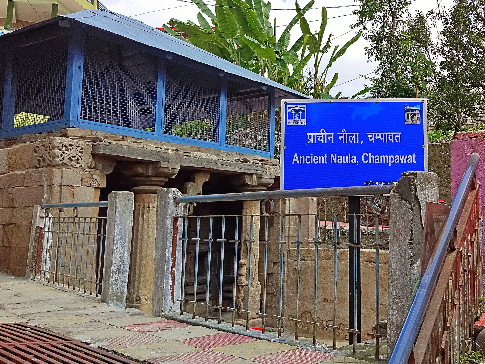
Champawat’s old stone temples, including the Baleshwar temple complex, date from the time of the Chand kings, and the town is linked in many travellers’ minds with Jim Corbett’s first man-eater hunt. Lohaghat, about 14 km away, is a market town among deodar forests, with Abbott Mount and the Mayawati ashram nearby.
The clearest days for Himalayan views are from October to February; spring brings rhododendrons, and the monsoon (July–August) is wet, with landslides on the road down to Tanakpur. Champawat is also on the road between the plains and Pithoragarh.
Weather nearby: Pithoragarh · Almora · Munsiyari.
Champawat in pictures
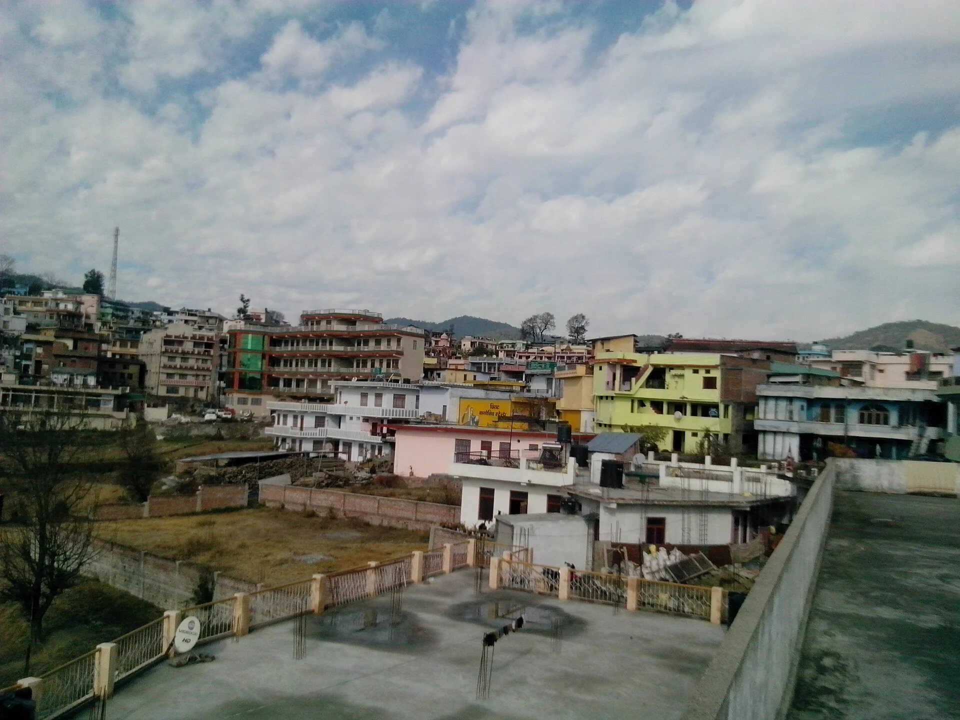
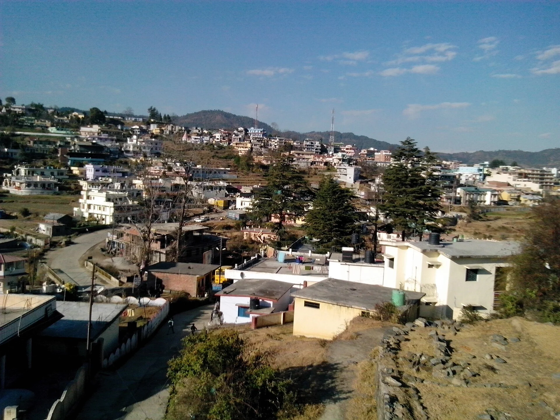
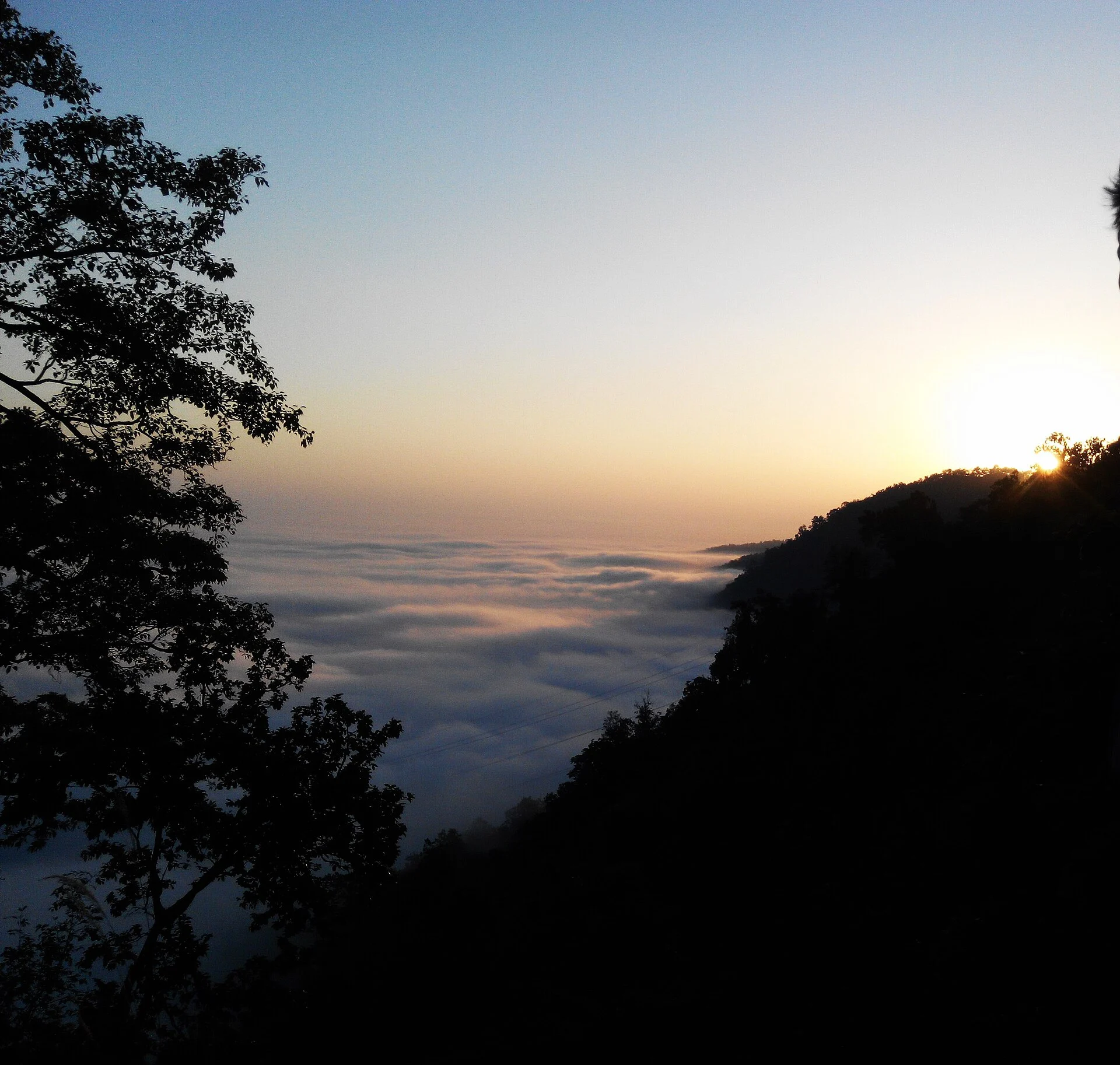
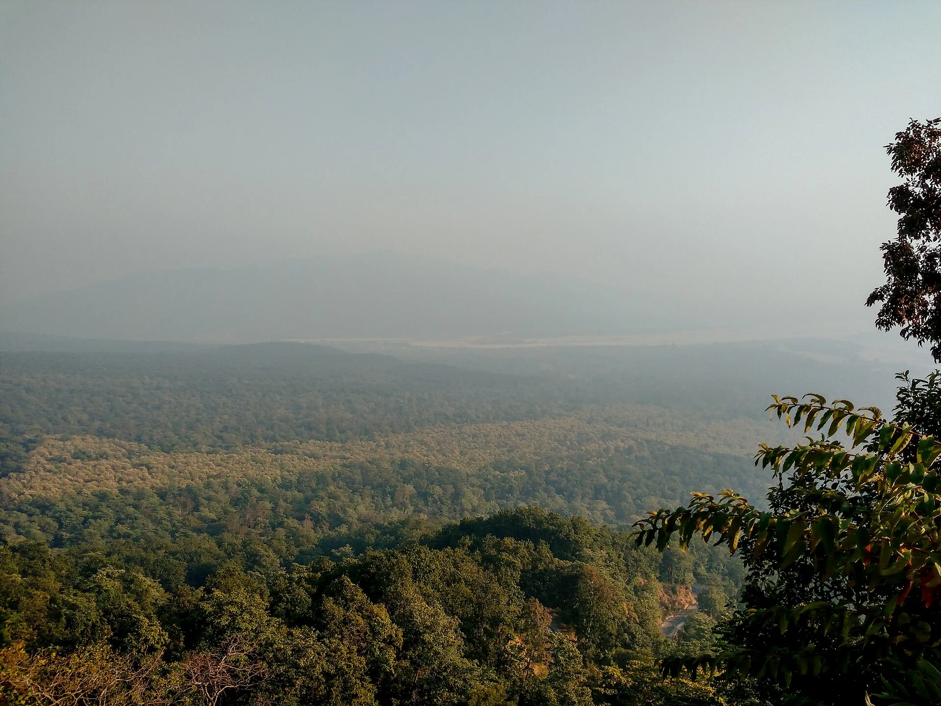
Champawat town, its temples and naula, and the Himalaya above the clouds — real photographs, each credited to its photographer.

Best time to visit Champawat
Depending on what you are going for.
Himalayan views
Clearest air; cold mornings.
Pleasant weather
Warm days, cool nights.
Autumn
Green hills, dry roads.
Abbott Mount
Quiet stays among deodars.
Quiet winter
Frosty mornings; rare snow.
Take care
Heavy rain and landslides.
Champawat trip: what the weather means for you
Clothing: warm layers from November to February; a light jacket in summer; rain gear in the monsoon.
Getting there: the nearest railhead is Tanakpur, about 75 km by a winding hill road; Champawat is also on the road to Pithoragarh. Keep spare time in the monsoon.
Our Uttarakhand trips
Hotels, meals and a private car in one quote.
Planning Champawat and Lohaghat?
Tell us your dates, where you are starting from and how many of you are travelling. We check the weather and the road and send a written quote with stays and a private car. Suzu Travels is a travel agent registered with HP Tourism, based in Bilaspur, Himachal Pradesh, and plans trips across north India.
Champawat weather: frequently asked questions
What is the weather in Champawat today?
The top of this page shows the current temperature and the next days’ forecast for Champawat, Lohaghat and Pithoragarh (MET Norway data).
Does it snow in Champawat?
Rarely; light snow sometimes falls on the higher ridges around Lohaghat and Abbott Mount in winter.
How cold is Champawat in winter?
January days are about 16 °C and nights about 5 °C (an estimate), with frosty mornings.
What is the weather like in Lohaghat?
Very similar to Champawat, slightly cooler; the live forecast above includes Lohaghat.
Which are the wettest months in Champawat?
July and August.
When is the best time to visit Champawat?
March–June and September–November; October–February for the clearest views.
Sources
- MET Norway Locationforecast (CC BY 4.0) — live forecast data
- India Meteorological Department — Mukteshwar normals 1991–2020 (height-adjusted estimate)
- Wikipedia: Champawat
Photo credits
Champawat and its valley — Photo: WhiteRaven335, CC BY-SA 4.0 · The Himalaya from Champawat — Photo: Ashish Gupta from Noida, India, CC BY 2.0 · Champawat town — Photo: Yogesh Rawat, CC BY-SA 3.0 · Champawat from above — Photo: Yogesh Rawat, CC BY-SA 3.0 · The town in winter sun — Photo: ArmouredCyborg, CC BY-SA 4.0 · Sunset above the clouds — Photo: TheOfficialHARSH, CC BY-SA 4.0 · Golu Devta temple — Photo: ArmouredCyborg, CC BY-SA 4.0 · Ancient naula — Photo: ArmouredCyborg, CC BY-SA 4.0 · Forested hills — Photo: Ashish Gupta from Noida, India, CC BY 2.0